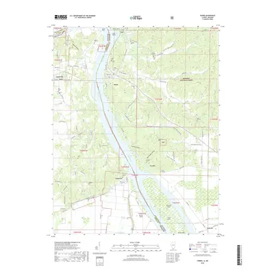
2018 Map of Thebes
USGS Topo · Published 2018About this map
Thebes sits prominently on the eastern bluffs overlooking a major bend in the Mississippi River, serving as a focal point for this survey along the Missouri-Illinois border. The landscape is defined by the river’s complex hydrology, featuring numerous islands such as Powers Island and Burnham Island, alongside the intricate Doolan Chute. To the east, the rugged hills of the Shawnee National Forest rise sharply, punctuated by deep-cut features like Joliet Hollow and Rock Springs Hollow. The area is notably dense with family and community burial sites, including the Rose Hill Cem and the Thompson Cem near Fayville. In Missouri, the settlements of Commerce and Scott City anchor the western bank, connected by a network of rural routes that trace the ridges above Dorrity Cr and Rose Cr. The map captures a region where river navigation and upland forestry converge, reflected in the persistence of small riverfront towns and scattered homesteads.
Find a feature on this map
116 named features on this map. Tap any name to fly to it.
Don’t see what you’re looking for? This feature index may not catch every label — zoom into the map to look around manually.
Map Details
Editions of this 2018 Thebes Map
This is the sole edition of this map. No revisions or reprints were ever made.
Other maps of this area

1920 · Jonesboro
USGS Topo · 1:62,500

1922 · Cape Girardeau
USGS Topo · 1:62,500

1923 · Jonesboro
USGS Topo · 1:62,500

1924 · Cape Girardeau
USGS Topo · 1:62,500

1934 · Thebes
USGS Topo · 1:62,500

1934 · Morley
USGS Topo · 1:62,500

1939 · Morley
USGS Topo · 1:62,500

1939 · Thebes
USGS Topo · 1:62,500

1947 · Jonesboro
USGS Topo · 1:62,500

1947 · Mc Clure
USGS Topo · 1:24,000