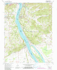
1966 Map of Thebes
USGS Topo · Published 1990About this map
The Mississippi River dominates this mid-1960s landscape, serving as the border between Alexander Co Illinois and Missouri. The settlement of Thebes sits prominently on the riverbank, defined by its position at the intersection of major rail corridors, including the St Louis-San Francisco RR and Illinois Central RR. To the west, Scott City shows a more modern footprint near the Missouri Pacific RR, while Commerce sits on the Missouri side overlooking the main channel. The map reveals a dense network of family-named cemeteries such as Hutchison Cem and Twente Cem, pointing to the deep genealogical roots of the river towns.
Find a feature on this map
74 named features on this map. Tap any name to fly to it.
Don’t see what you’re looking for? This feature index may not catch every label — zoom into the map to look around manually.
Map Details
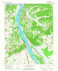
Editions of this 1966 Thebes Map
2 editions found
Other maps of this area

1920 · Jonesboro
USGS Topo · 1:62,500

1922 · Cape Girardeau
USGS Topo · 1:62,500

1923 · Jonesboro
USGS Topo · 1:62,500

1924 · Cape Girardeau
USGS Topo · 1:62,500

1934 · Thebes
USGS Topo · 1:62,500

1934 · Morley
USGS Topo · 1:62,500

1939 · Morley
USGS Topo · 1:62,500

1939 · Thebes
USGS Topo · 1:62,500

1947 · Jonesboro
USGS Topo · 1:62,500
1947 · Mc Clure
USGS Topo · 1:24,000