1993 Map of Thebes SW
USGS Topo · Published 1995About this map
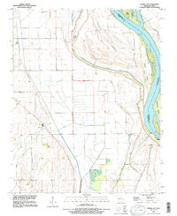
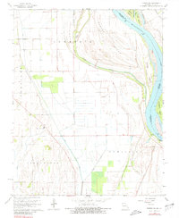
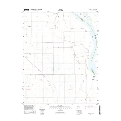
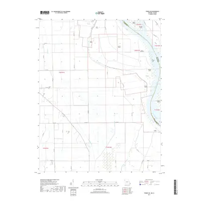
The Mississippi River dominates this landscape, serving as a dynamic border between Missouri and Illinois. This 1993 revision, based on imagery from the U.S. Army Corps of Engineers, illustrates the intricate fluvial geomorphology of the channel, including Powers Island, Goat Island, and Billings Island. The river’s path is defined by a network of chutes and sloughs, such as Doolan Chute and Billings Slough, which highlight the shifting nature of the river before modern stabilization. Inland from the banks, the land is etched with a sophisticated drainage system including North Cut Ditch and Circle Ditch, indicating the conversion of riverine bottomlands into productive agricultural terrain. For those tracing family histories in Scott County, landmarks like Prince Cem and Pollard Cem provide essential geographic anchors near the river's edge, while Price Landing suggests a history of localized river commerce and transport.
Find a feature on this map
22 named features on this map. Tap any name to fly to it.
Don’t see what you’re looking for? This feature index may not catch every label — zoom into the map to look around manually.
Map Details
Editions of this 1993 Thebes SW Map
This is the sole edition of this map. No revisions or reprints were ever made.
Historical Maps of Lusk Through Time
11 maps found

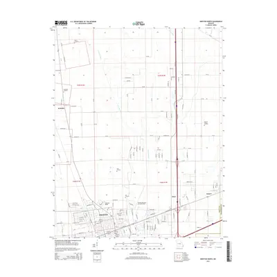
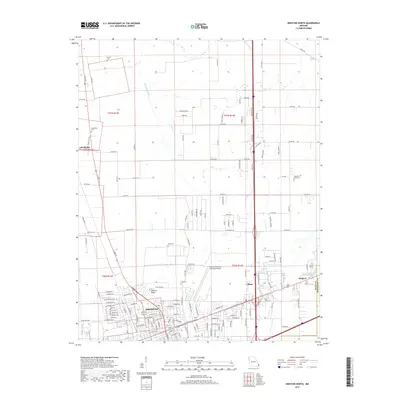
1963 Sikeston North
Scott County, MO
1967 Thebes SW
Scott County, MO
1993 Thebes SW
Scott County, MO
2012 Sikeston North
Scott County, MO
2012 Thebes SW
Scott County, MO
2015 Sikeston North
Scott County, MO
2015 Thebes SW
Scott County, MO
2017 Sikeston North
Scott County, MO
2017 Thebes SW
Scott County, MO
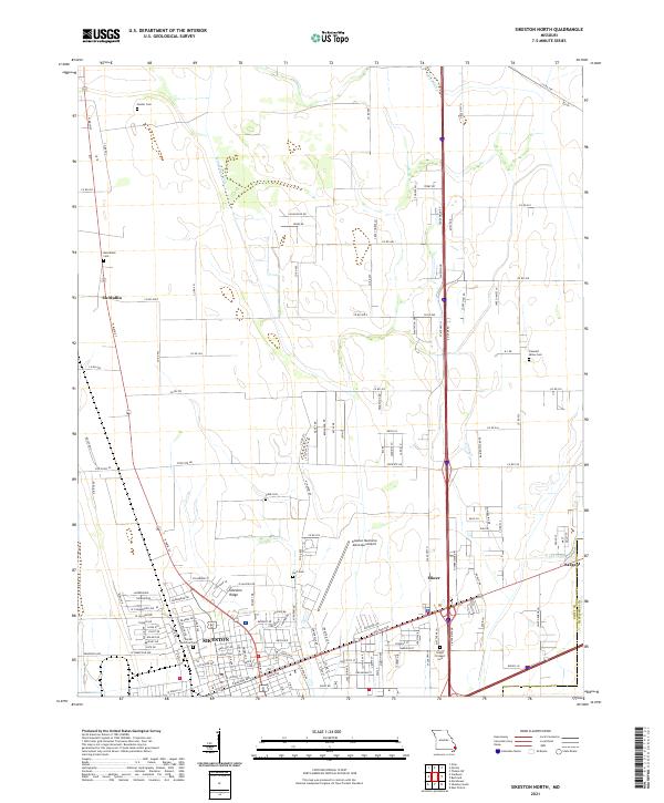
2021 Sikeston North
Scott County, MO
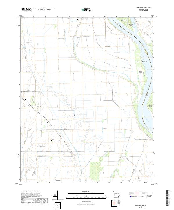
2021 Thebes SW
Scott County, MO