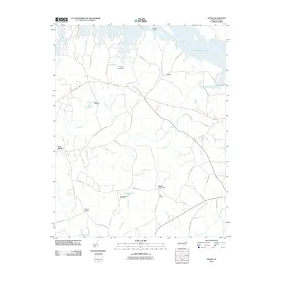
2010 Map of Thelma
USGS Topo · Published 2010About this map
Thelma and Gretna Green anchor this rural landscape in Halifax County, where the topography is defined by the expansive Roanoke Rapids Lake along the northern boundary. The map illustrates a region of transition where small crossroads settlements like Hinnes Crossroads and Summit are linked by a network of secondary roads such as Thelma Road and Wright Road. The abundance of water features, including Quankey Creek, Bear Swamp, and Marsh Swamp, suggests a history of timber and agricultural management, further evidenced by the Liles Lookout Tower standing watch over the wooded terrain.
Find a feature on this map
51 named features on this map. Tap any name to fly to it.
Don’t see what you’re looking for? This feature index may not catch every label — zoom into the map to look around manually.
Map Details
Editions of this 2010 Thelma Map
This is the sole edition of this map. No revisions or reprints were ever made.
Other maps of this area

1919 · White Plains
USGS Topo · 1:48,000

1919 · Emporia
USGS Topo · 1:62,500

1920 · White Plains
USGS Topo · 1:62,500

1942 · Emporia
USGS Topo · 1:62,500

1953 · Norfolk
USGS Topo · 1:250,000

1963 · Barley
USGS Topo · 1:24,000

1963 · Gasburg
USGS Topo · 1:24,000

1963 · Valentines
USGS Topo · 1:24,000

1973 · Aurelian Springs
USGS Topo · 1:24,000

1973 · Hollister
USGS Topo · 1:24,000