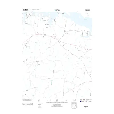
2013 Map of Thelma
USGS Topo · Published 2013About this map
Thelma and Gretna Green anchor this coastal plain landscape in Halifax County, where the northern border is defined by the massive impoundments of Lake Gaston and Roanoke Rapids Lake. The terrain is deeply articulated by numerous inlets and coves along the lake shores, particularly around Clements Island. South of the water, the geography transitions into a network of drainages and lowlands, including Bear Swamp and Marsh Swamp, which feed into Quankey Cr. This 2013 survey illustrates a rural region characterized by small crossroads settlements like Hinnes Crossroads and Roper Springs. Notable local landmarks and water bodies, such as Liles Lookout Tower, Dickens Pond, and Crawley Pond, provide specific points of reference for genealogists and local historians tracing the evolution of family tracts and rural infrastructure in this part of North Carolina.
Find a feature on this map
97 named features on this map. Tap any name to fly to it.
Don’t see what you’re looking for? This feature index may not catch every label — zoom into the map to look around manually.
Map Details
Editions of this 2013 Thelma Map
This is the sole edition of this map. No revisions or reprints were ever made.
Other maps of this area

1919 · White Plains
USGS Topo · 1:48,000

1919 · Emporia
USGS Topo · 1:62,500

1920 · White Plains
USGS Topo · 1:62,500

1942 · Emporia
USGS Topo · 1:62,500

1953 · Norfolk
USGS Topo · 1:250,000

1963 · Barley
USGS Topo · 1:24,000

1963 · Gasburg
USGS Topo · 1:24,000

1963 · Valentines
USGS Topo · 1:24,000

1973 · Aurelian Springs
USGS Topo · 1:24,000

1973 · Hollister
USGS Topo · 1:24,000