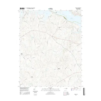
2016 Map of Thelma
USGS Topo · Published 2016About this map
Lake Gaston and Roanoke Rapids Lake dominate the northern landscape of this region along the border of Northampton and Halifax Counties. The terrain is defined by the divided flow of the Roanoke River, where Clements Island sits between the North Channel and South Channel. This modern topography shows the residential development pattern around the lakes, contrasted with the traditional rural character found further south at Gretna Green and Hinnes Crossroads.
Find a feature on this map
80 named features on this map. Tap any name to fly to it.
Don’t see what you’re looking for? This feature index may not catch every label — zoom into the map to look around manually.
Map Details
Editions of this 2016 Thelma Map
This is the sole edition of this map. No revisions or reprints were ever made.
Other maps of this area

1919 · White Plains
USGS Topo · 1:48,000

1919 · Emporia
USGS Topo · 1:62,500

1920 · White Plains
USGS Topo · 1:62,500

1942 · Emporia
USGS Topo · 1:62,500

1953 · Norfolk
USGS Topo · 1:250,000

1963 · Barley
USGS Topo · 1:24,000

1963 · Gasburg
USGS Topo · 1:24,000

1963 · Valentines
USGS Topo · 1:24,000

1973 · Aurelian Springs
USGS Topo · 1:24,000

1973 · Hollister
USGS Topo · 1:24,000