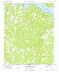
1973 Map of Thelma
USGS Topo · Published 1977About this map
The Roanoke River corridor and its transition into the reservoir system define this area of the North Carolina borderlands. Below the Gaston Dam, the river splits around Clements Island via the North Channel and South Channel before emptying into Roanoke Rapids Lake. The landscape is a network of rural settlements and small crossroads communities such as Thelma, Summit, and Hinnes Crossroads.
Find a feature on this map
38 named features on this map. Tap any name to fly to it.
Don’t see what you’re looking for? This feature index may not catch every label — zoom into the map to look around manually.
Map Details
Editions of this 1973 Thelma Map
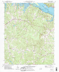
2 editions found
Other maps of this area

1919 · White Plains
USGS Topo · 1:48,000

1919 · Emporia
USGS Topo · 1:62,500

1920 · White Plains
USGS Topo · 1:62,500

1942 · Emporia
USGS Topo · 1:62,500

1953 · Norfolk
USGS Topo · 1:250,000

1963 · Barley
USGS Topo · 1:24,000

1963 · Gasburg
USGS Topo · 1:24,000

1963 · Valentines
USGS Topo · 1:24,000

1973 · Aurelian Springs
USGS Topo · 1:24,000

1973 · Hollister
USGS Topo · 1:24,000