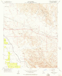
1956 Map of Thermal Canyon
USGS Topo · Published 1957About this map
The Coachella Valley landscape in the mid-1950s is defined by the critical water infrastructure of the Coachella Canal and an extensive Aqueduct system. This 1:24,000 scale survey, compiled from USBR planetable work and 1953 aerial photography, illustrates the stark contrast between the irrigated valley floor and the arid Little San Bernardino Mts to the north. Industrial activity is concentrated at the canyon mouths, including several Gravel Pits and the Yellow Agit 1 site. The complex topography of the Mecca Hills and numerous drainage systems like Thermal Canyon and Fargo Canyon dominate the eastern half of the sheet, while a network of Pipelines and a prominent Levee near Wasteway No 2 manage the region's hydraulic resources.
Find a feature on this map
19 named features on this map. Tap any name to fly to it.
Don’t see what you’re looking for? This feature index may not catch every label — zoom into the map to look around manually.
Map Details
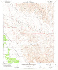
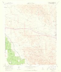
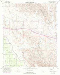
Editions of this 1956 Thermal Canyon Map
4 editions found
Other maps of this area

1904 · Indio
USGS Topo · 1:125,000

1940 · Cottonwood Spring
USGS Topo · 1:62,500

1941 · Coachella
USGS Topo · 1:62,500

1943 · Coachella
USGS Topo · 1:62,500

1943 · Pinkham Well
USGS Topo · 1:62,500

1944 · Cottonwood Spring
USGS Topo · 1:62,500

1944 · Pinkham Well
USGS Topo · 1:62,500

1944 · Pinyon Well
USGS Topo · 1:62,500

1947 · Santa Ana
USGS Topo · 1:250,000

1949 · Santa Ana
USGS Topo · 1:250,000