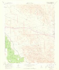
1956 Map of Thermal Canyon
USGS Topo · Published 1973About this map
Coachella Valley agriculture meets the stark desert uplands in this mid-century study of Riverside County. The landscape is defined by massive water infrastructure projects, most notably the Coachella Canal and the Colorado River Aqueduct, which enabled the transformation of the arid basin into a productive horticultural zone. While the valley floor is meticulously partitioned with irrigated fields and infrastructure like Wasteway No 2 and a complex Levee system, the northeastern portion rises sharply into the Little San Bernardino Mts. Here, the terrain is carved by drainage features such as Thermal Canyon, West Double Canyon, and East Double Canyon. The 1970s-era purple revisions reveal the expansion of roads and pipelines across the Mecca Hills and Front Hill, illustrating the continued development of utility corridors through the Colorado Desert.
Find a feature on this map
16 named features on this map. Tap any name to fly to it.
Don’t see what you’re looking for? This feature index may not catch every label — zoom into the map to look around manually.
Map Details
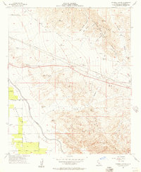
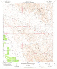
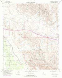
Editions of this 1956 Thermal Canyon Map
4 editions found
Other maps of this area

1904 · Indio
USGS Topo · 1:125,000

1940 · Cottonwood Spring
USGS Topo · 1:62,500

1941 · Coachella
USGS Topo · 1:62,500

1943 · Coachella
USGS Topo · 1:62,500

1943 · Pinkham Well
USGS Topo · 1:62,500

1944 · Cottonwood Spring
USGS Topo · 1:62,500

1944 · Pinkham Well
USGS Topo · 1:62,500

1944 · Pinyon Well
USGS Topo · 1:62,500

1947 · Santa Ana
USGS Topo · 1:250,000

1949 · Santa Ana
USGS Topo · 1:250,000