Loading...
Loading map...2021 Map of Thermopolis
USGS Topo · Published 2021About this map
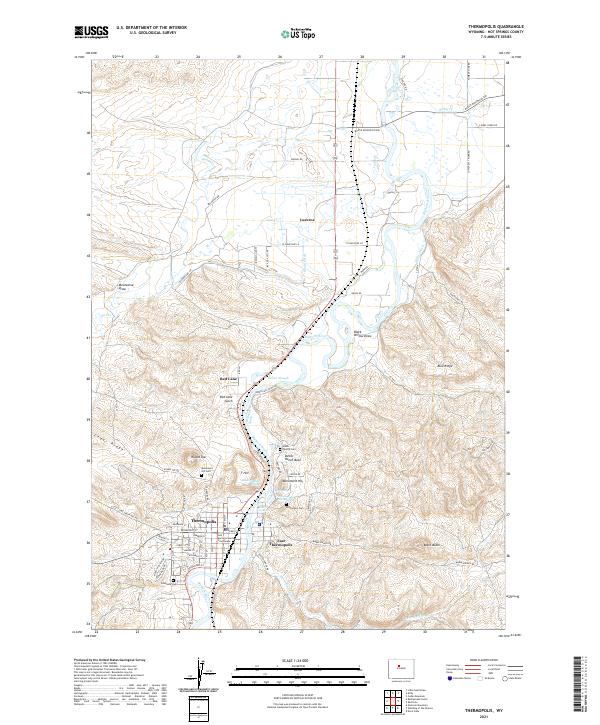
Thermopolis Hot Springs and the geothermal activity along the Bighorn River define this corner of Wyoming. This modern survey detail shows the convergence of complex topography and irrigation infrastructure, where the Dempsey Canal, S Side Ditch, and Kirby Ditch draw from the river to support the valley's agriculture. The town of Thermopolis sits as a central hub, with its grid extending from Broadway St toward the Hot Springs County Courthouse.
Find a feature on this map
67 named features on this map. Tap any name to fly to it.
Don’t see what you’re looking for? This feature index may not catch every label — zoom into the map to look around manually.
Map Details
Date Portrayed2021
Date Published2021
PublisherU.S. Geological Survey
Map TypeTopographic
Scale1:24,000
Physical Dimensions24 x 29 inches
Editions of this 2021 Thermopolis Map
This is the sole edition of this map. No revisions or reprints were ever made.
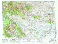
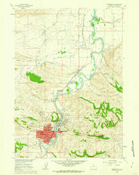
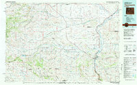
Historical Maps of Thermopolis Through Time
6 maps found


Featured Locations
Source Details
SourceU.S. Geological Survey
CopyrightPublic Domain