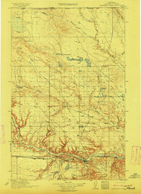
1912 Map of Thibedeau Lake
USGS Topo · Published 1912About this map
Fort Assinniboine and the early rail hub of Havre anchor the southern reaches of this 1909 survey, reflecting the military and transportation infrastructure that defined northern Montana at the turn of the century. The Great Northern railroad tracks parallel the Milk River, connecting a string of small stations and settlements including Pacific Junction, Burnham, and Toledo. This rail-and-river corridor contrasts sharply with the expansive ranching country to the north, where the landscape is defined by isolated family operations such as Lohman's Ranch, McLain Ranch, and Merriett Ranch.
Find a feature on this map
30 named features on this map. Tap any name to fly to it.
Don’t see what you’re looking for? This feature index may not catch every label — zoom into the map to look around manually.
Map Details
Editions of this 1912 Thibedeau Lake Map
This is the sole edition of this map. No revisions or reprints were ever made.
Other maps of this area
1904 · Yantic
USGS Topo · 1:62,500
1904 · Havre
USGS Topo · 1:62,500
1904 · Assinniboine
USGS Topo · 1:62,500
1904 · Boxelder
USGS Topo · 1:62,500
1906 · Kremlin
USGS Topo · 1:62,500
1906 · Boxelder
USGS Topo · 1:62,500
1912 · Zurich
USGS Topo · 1:125,000
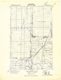
1919 · Big Sandy
USGS Topo · 1:125,000
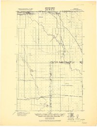
1920 · Gildford
USGS Topo · 1:125,000
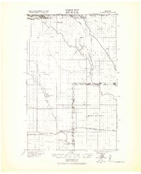
1943 · Gildford
USGS Topo · 1:125,000