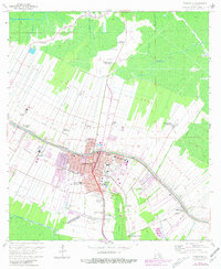
1962 Map of Thibodaux
USGS Topo · Published 1981About this map
The sprawling sugar plantations of Thibodaux dominate this landscape along the banks of Bayou Lafourche during the mid-20th century. Large agricultural estates such as Greenwood Plantation, Abby Plantation, and Laurel Valley Plantation line the waterway, illustrating the region's deep ties to the plantation economy even as industrial elements like the Chacahoula Oil and Gas Field and numerous Gas Well sites begin to mark the surrounding terrain.
Find a feature on this map
48 named features on this map. Tap any name to fly to it.
Don’t see what you’re looking for? This feature index may not catch every label — zoom into the map to look around manually.
Map Details
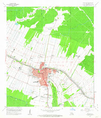
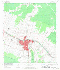
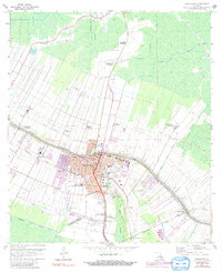
Editions of this 1962 Thibodaux Map
4 editions found
Other maps of this area

1892 · Lac Des Allemands
USGS Topo · 1:62,500

1892 · Gibson
USGS Topo · 1:62,500

1892 · Houma
USGS Topo · 1:62,500

1892 · Thibodaux
USGS Topo · 1:62,500

1897 · Gibson
USGS Topo · 1:62,500

1927 · Thibodaux NW
USGS Topo · 1:31,680

1932 · Lac Des Allemands NW
USGS Topo · 1:31,680

1932 · Lac Des Allemands SW
USGS Topo · 1:31,680

1932 · Thibodaux NE
USGS Topo · 1:31,680

1932 · Houma NW
USGS Topo · 1:31,680