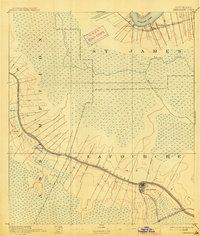
1892 Map of Thibodaux
USGS Topo · Published 1914About this map
Bayou Lafourche serves as the primary artery for settlement and commerce in this 1890 survey of the low-lying wetlands. The map illustrates a distinctive pattern of development where ribbons of dry land along the waterways host the majority of human activity, including the town of Thibodaux and smaller settlements like Labadieville and Albemarle. To the north, the Mississippi River bends past St James, showing the narrow strip of riverside development that transitions quickly into the expansive marshes and bayous such as Bayou Chevreuil and Bayou Verret.
Find a feature on this map
22 named features on this map. Tap any name to fly to it.
Don’t see what you’re looking for? This feature index may not catch every label — zoom into the map to look around manually.
Map Details
Editions of this 1892 Thibodaux Map
3 editions found
Other maps of this area

1892 · Lac Des Allemands
USGS Topo · 1:62,500

1892 · Mount Airy
USGS Topo · 1:62,500

1892 · Gibson
USGS Topo · 1:62,500

1892 · Houma
USGS Topo · 1:62,500

1892 · Donaldsonville
USGS Topo · 1:62,500

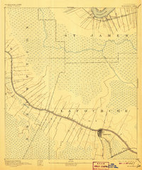
1892 · Thibodaux
USGS Topo · 1:62,500

1897 · Gibson
USGS Topo · 1:62,500

1927 · Thibodaux NW
USGS Topo · 1:31,680

1932 · Lac Des Allemands NW
USGS Topo · 1:31,680

1932 · Lac Des Allemands SW
USGS Topo · 1:31,680