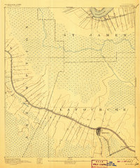
1892 Map of Thibodaux
USGS Topo · Published 1907About this map
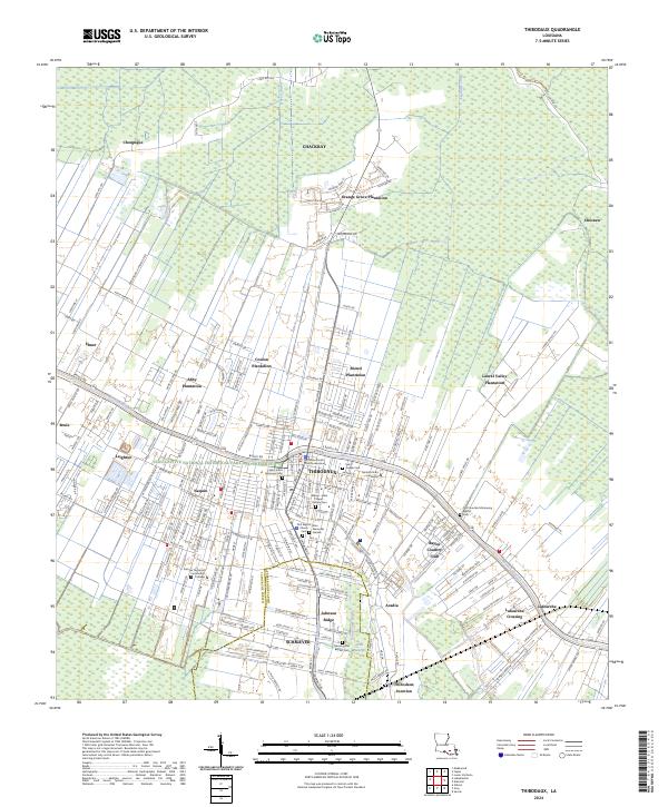
Bayou Lafourche serves as the central artery for this late nineteenth-century landscape, flanked by narrow ribbons of cultivation that stretch into the surrounding wetlands. The settlement of Thibodeaux anchors the southern reaches, where the Southern Pacific Railroad crosses the landscape. Further north, the Mississippi River cuts across the corner of the map, supporting small landings and communities like Pikes Peak and Delogney along the Texas and Pacific Railroad. The intricate network of drainage is evident in features like Bayou Verrette and Bayou Chevreuil, which define the low-lying interior between the higher ground of the river and bayou levees. This survey illustrates the traditional Louisiana settlement pattern, where residences and industry like Georgia and Albemarle cling to the waterfront, leaving the interior to the cypress swamps of St. James and Assumption parishes.
Find a feature on this map
22 named features on this map. Tap any name to fly to it.
Don’t see what you’re looking for? This feature index may not catch every label — zoom into the map to look around manually.
Map Details
Editions of this 1892 Thibodaux Map
3 editions found

Historical Maps of Thibodaux Through Time
10 maps found
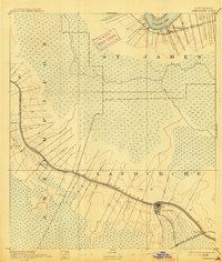
1892 Thibodaux
Lafourche Parish, LA
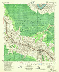
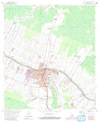
1955 Thibodaux
Lafourche Parish, LA
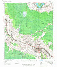
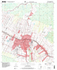
1962 Thibodaux
Lafourche Parish, LA
1962 Thibodaux
Lafourche Parish, LA
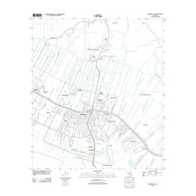
1998 Thibodaux
Lafourche Parish, LA
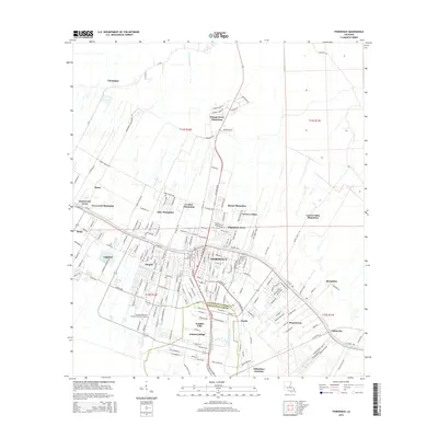
2012 Thibodaux
Lafourche Parish, LA
2015 Thibodaux
Lafourche Parish, LA
2018 Thibodaux
Lafourche Parish, LA
2020 Thibodaux
Lafourche Parish, LA
2024 Thibodaux
Lafourche Parish, LA