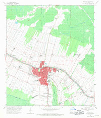
1962 Map of Thibodaux
USGS Topo · Published 1971About this map
The agricultural and industrial character of Bayou Lafourche in the early 1960s is defined by a dense corridor of historic estates and energy infrastructure. Established settlements like Thibodaux serve as the hub for educational and civic life, home to Francis T Nicholls State College and Thibodaux College. The landscape is dominated by large-scale plantations such as Rienzi Plantation, Coulon Plantation, and Laurel Valley Plantation, which line the waterways and are intersected by the Texas and Pacific and Southern Pacific railroads.
Find a feature on this map
47 named features on this map. Tap any name to fly to it.
Don’t see what you’re looking for? This feature index may not catch every label — zoom into the map to look around manually.
Map Details
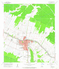
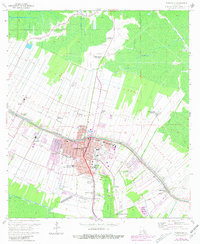
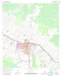
Editions of this 1962 Thibodaux Map
4 editions found
Other maps of this area

1892 · Lac Des Allemands
USGS Topo · 1:62,500

1892 · Gibson
USGS Topo · 1:62,500

1892 · Houma
USGS Topo · 1:62,500

1892 · Thibodaux
USGS Topo · 1:62,500

1897 · Gibson
USGS Topo · 1:62,500

1927 · Thibodaux NW
USGS Topo · 1:31,680

1932 · Lac Des Allemands NW
USGS Topo · 1:31,680

1932 · Lac Des Allemands SW
USGS Topo · 1:31,680

1932 · Thibodaux NE
USGS Topo · 1:31,680

1932 · Houma NW
USGS Topo · 1:31,680