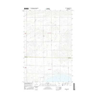
2016 Map of Thief Lake
USGS Topo · Published 2016About this map
Thief Lake dominates the southern reaches of this landscape, its waters framed by a network of drainage ditches and straight section-line roads. This area along the Roseau and Marshall County line is defined by its vast wetlands and conservation focus, as evidenced by the Refuge Rd and the surrounding state wildlife lands. The human history of this often-saturated terrain is marked by isolated rural burial grounds, including Klondike Cem in the north and Saint Joseph Cem further south. Perhaps most notable is the Gust National Cem, a small veteran cemetery located in the heart of this sparsely populated wetland region. The map preserves the geometric layout of agricultural and conservation boundaries, such as Co Rd 8 and Co Rd 6, as they traverse the marshy plains of northern Minnesota.
Find a feature on this map
19 named features on this map. Tap any name to fly to it.
Don’t see what you’re looking for? This feature index may not catch every label — zoom into the map to look around manually.
Map Details
Editions of this 2016 Thief Lake Map
This is the sole edition of this map. No revisions or reprints were ever made.
Other maps of this area
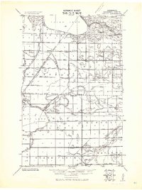
1918 · Rollis
USGS Topo · 1:62,500
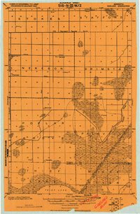
1918 · Garland
USGS Topo · 1:62,500
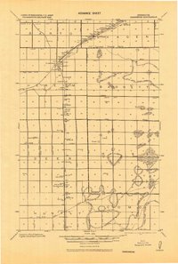
1918 · Greenbush
USGS Topo · 1:62,500
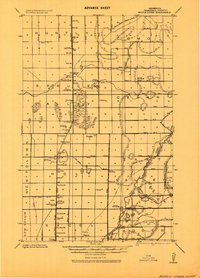
1918 · Middle River
USGS Topo · 1:62,500
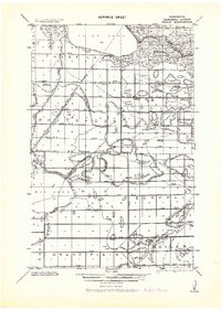
1943 · Rollis
USGS Topo · 1:62,500

1952 · Thief River Falls
USGS Topo · 1:250,000

1954 · Roseau
USGS Topo · 1:250,000

1956 · Thief River Falls
USGS Topo · 1:250,000

1957 · Roseau
USGS Topo · 1:250,000

1957 · Thief River Falls
USGS Topo · 1:250,000