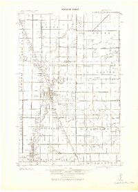
1943 Map of Thief River Falls
USGS Topo · Published 1943About this map
The confluence of the Thief River and the Red River anchors this 1943 military survey, which documents the rail-driven growth of Pennington County. The primary hub of Thief River Falls is shown with its grid and industrial orientation, supported by a dense network of lines including the Great Northern, Northern Pacific, and the Minneapolis St. Paul and Sault Ste. Marie railroads.
Find a feature on this map
43 named features on this map. Tap any name to fly to it.
Don’t see what you’re looking for? This feature index may not catch every label — zoom into the map to look around manually.
Map Details
Editions of this 1943 Thief River Falls Map
This is the sole edition of this map. No revisions or reprints were ever made.
Other maps of this area
1918 · Rollis
USGS Topo · 1:62,500
1918 · Terrebonne
USGS Topo · 1:62,500
1918 · Red Lake Falls
USGS Topo · 1:62,500
1918 · Viking
USGS Topo · 1:62,500
1918 · Middle River
USGS Topo · 1:62,500
1919 · Grit
USGS Topo · 1:62,500
1943 · Rollis
USGS Topo · 1:62,500
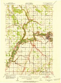
1952 · Red Lake Falls
USGS Topo · 1:62,500

1952 · Grand Forks
USGS Topo · 1:250,000
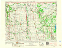
1952 · Thief River Falls
USGS Topo · 1:250,000
Featured Places
- Thief River Falls, MN
- Dakota Junction, MN
- Saint Hilaire, St. Hilaire
- Northside Trailer Park, St. Hilaire
- Aaesby Trailer Court, MN