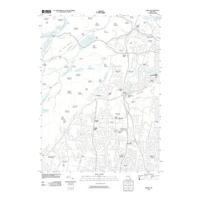
2010 Map of Thiells
USGS Topo · Published 2010About this map
Ladentown and Thiells anchor this transition between the suburban sprawl of Rockland County and the high peaks of the Hudson Highlands in 2010. The southern half of the sheet shows dense residential development and local religious centers like New Square and New Hempstead, while the northern portion remains dominated by protected parkland and rugged topography. The Palisades Interstate Pkwy serves as a primary corridor, separating established communities from the steep elevations of Hogencamp Mountain and Jackie Jones Mountain.
Find a feature on this map
121 named features on this map. Tap any name to fly to it.
Don’t see what you’re looking for? This feature index may not catch every label — zoom into the map to look around manually.
Map Details
Editions of this 2010 Thiells Map
This is the sole edition of this map. No revisions or reprints were ever made.
Other maps of this area

1891 · Ramapo
USGS Topo · 1:62,500

1892 · West Point
USGS Topo · 1:62,500

1892 · Tarrytown
USGS Topo · 1:62,500

1893 · Tarrytown
USGS Topo · 1:62,500

1893 · Ramapo
USGS Topo · 1:62,500

1894 · West Point
USGS Topo · 1:62,500

1899 · West Point
USGS Topo · 1:62,500

1901 · West Point
USGS Topo · 1:62,500

1902 · Tarrytown
USGS Topo · 1:62,500

1902 · Schunemunk
USGS Topo · 1:62,500