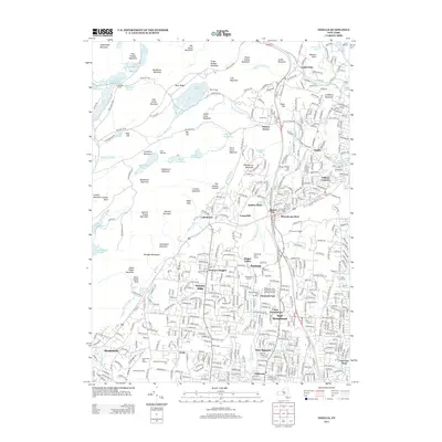
2013 Map of Thiells
USGS Topo · Published 2013About this map
Ramapo Mountains dominate the western horizon of this Rockland County landscape, giving way to a densely settled corridor of villages and residential developments. The area transition from high peaks like Jackie Jones Mountain and Big Hill to the valley floor is marked by the Mahwah River and Minisceongo Cr. Significant institutional presence is visible through the Rockland Community Coll campus and the extensive Rockland County Health and Social Services Complex.
Find a feature on this map
169 named features on this map. Tap any name to fly to it.
Don’t see what you’re looking for? This feature index may not catch every label — zoom into the map to look around manually.
Map Details
Editions of this 2013 Thiells Map
This is the sole edition of this map. No revisions or reprints were ever made.
Other maps of this area

1891 · Ramapo
USGS Topo · 1:62,500

1892 · West Point
USGS Topo · 1:62,500

1892 · Tarrytown
USGS Topo · 1:62,500

1893 · Tarrytown
USGS Topo · 1:62,500

1893 · Ramapo
USGS Topo · 1:62,500

1894 · West Point
USGS Topo · 1:62,500

1899 · West Point
USGS Topo · 1:62,500

1901 · West Point
USGS Topo · 1:62,500

1902 · Tarrytown
USGS Topo · 1:62,500

1902 · Schunemunk
USGS Topo · 1:62,500