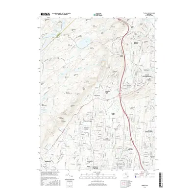
2016 Map of Thiells
USGS Topo · Published 2016About this map
The Harriman State Park wilderness dominates the northwestern landscape of this Rockland County region, where a series of water bodies including Lake Skannatati, Lake Kanawauke, and Lake Welch follow the contours of the Ramapo Mountains. These upland forests and steep ridges like Rockhouse Mtn and Jackie Jones Mtn provide a stark contrast to the dense suburban development expanding to the south and east.
Find a feature on this map
309 named features on this map. Tap any name to fly to it.
Don’t see what you’re looking for? This feature index may not catch every label — zoom into the map to look around manually.
Map Details
Editions of this 2016 Thiells Map
This is the sole edition of this map. No revisions or reprints were ever made.
Other maps of this area

1891 · Ramapo
USGS Topo · 1:62,500

1892 · West Point
USGS Topo · 1:62,500

1892 · Tarrytown
USGS Topo · 1:62,500

1893 · Tarrytown
USGS Topo · 1:62,500

1893 · Ramapo
USGS Topo · 1:62,500

1894 · West Point
USGS Topo · 1:62,500

1899 · West Point
USGS Topo · 1:62,500

1901 · West Point
USGS Topo · 1:62,500

1902 · Tarrytown
USGS Topo · 1:62,500

1902 · Schunemunk
USGS Topo · 1:62,500