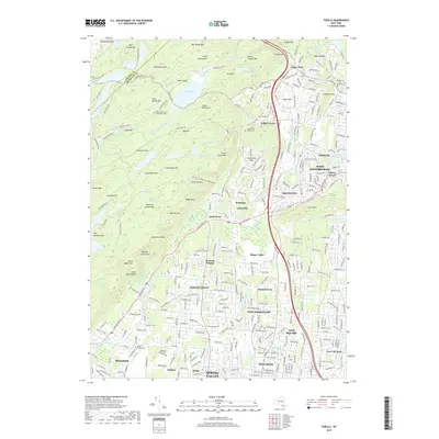
2019 Map of Thiells
USGS Topo · Published 2019About this map
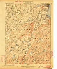
Harriman State Park dominates the northwestern portion of this Rockland County region, where the Ramapo Mountains create a landscape of high ridges and secluded swamps. Peaks like Jackie Jones Mtn and Big Hill overlook a network of water bodies, including Lake Welch and the Third Reservoir. This area preserves a more primitive character compared to the dense residential development to the southeast, noted by the presence of St Johns in the Wilderness Cem set deep within the woods.
Find a feature on this map
322 named features on this map. Tap any name to fly to it.
Don’t see what you’re looking for? This feature index may not catch every label — zoom into the map to look around manually.
Map Details
Editions of this 2019 Thiells Map
This is the sole edition of this map. No revisions or reprints were ever made.
Other maps of this area

1891 · Ramapo
USGS Topo · 1:62,500

1892 · West Point
USGS Topo · 1:62,500

1892 · Tarrytown
USGS Topo · 1:62,500

1893 · Tarrytown
USGS Topo · 1:62,500

1893 · Ramapo
USGS Topo · 1:62,500

1894 · West Point
USGS Topo · 1:62,500
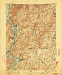
1899 · West Point
USGS Topo · 1:62,500
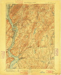
1901 · West Point
USGS Topo · 1:62,500
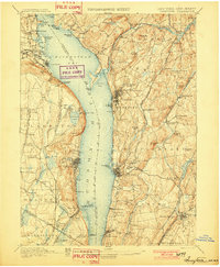
1902 · Tarrytown
USGS Topo · 1:62,500
1902 · Schunemunk
USGS Topo · 1:62,500