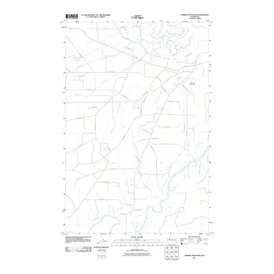
2011 Map of Thimble Mountain
USGS Topo · Published 2011About this map
Thimble Mountain stands as the central topographic anchor in this 2011 survey of western Washington, overlooking a dense network of watercourses and Bureau of Indian Affairs access routes. The landscape is defined by the winding course of the Quinault River in the south, which serves as the primary drainage for numerous tributaries including Joe Creek and Boulder Creek. The map reveals a structured grid of forest management roads, primarily designated with BIA identifiers such as BIA 9300 Rd and BIA 9410 Rd, which navigate the drainages of Cedar Creek and Lunch Creek.
Find a feature on this map
51 named features on this map. Tap any name to fly to it.
Don’t see what you’re looking for? This feature index may not catch every label — zoom into the map to look around manually.
Map Details
Editions of this 2011 Thimble Mountain Map
This is the sole edition of this map. No revisions or reprints were ever made.
Other maps of this area
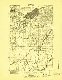
1921 · Quinault Lake
USGS Topo · 1:62,500
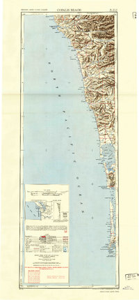
1943 · Copalis Beach
USGS Topo · 1:250,000
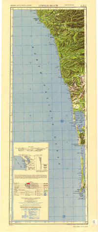
1951 · Copalis Beach
USGS Topo · 1:250,000
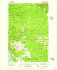
1955 · Macafee Hill
USGS Topo · 1:62,500
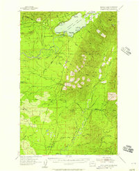
1955 · Quinault Lake
USGS Topo · 1:62,500
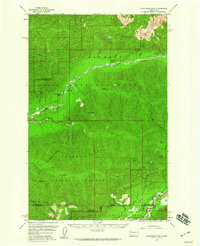
1956 · Kloochman Rock
USGS Topo · 1:62,500
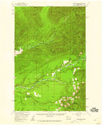
1956 · Salmon River
USGS Topo · 1:62,500
1957 · Copalis Beach
USGS Topo · 1:250,000
1958 · Seattle
USGS Topo · 1:250,000
1962 · Seattle
USGS Topo · 1:250,000