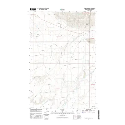
2017 Map of Thimble Mountain
USGS Topo · Published 2017About this map
Thimble Mountain rises above a landscape defined by an intricate network of Bureau of Indian Affairs forest roads and Pacific Northwest drainage basins. This 2017 survey shows the transition from the high ridges of the Olympic Mountains in the northeast down toward the Quinault River in the south. The area is marked by numerous watercourses including the S Fork Salmon River and its tributary Huckleberry Cr, alongside several family-named roads like Baird 9106. The map captures the industrial and natural geography of the region, where timber access roads such as Bia Rd 9100 and Bia RD 9200 crisscross the townships. At the southern edge, the terrain levels out at the Chow Chow Prairie, providing a distinct contrast to the steep elevations surrounding Thimble Mountain.
Find a feature on this map
58 named features on this map. Tap any name to fly to it.
Don’t see what you’re looking for? This feature index may not catch every label — zoom into the map to look around manually.
Map Details
Editions of this 2017 Thimble Mountain Map
This is the sole edition of this map. No revisions or reprints were ever made.
Other maps of this area
1921 · Quinault Lake
USGS Topo · 1:62,500
1943 · Copalis Beach
USGS Topo · 1:250,000
1951 · Copalis Beach
USGS Topo · 1:250,000
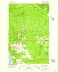
1955 · Macafee Hill
USGS Topo · 1:62,500
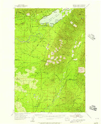
1955 · Quinault Lake
USGS Topo · 1:62,500
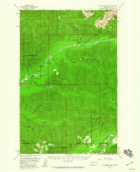
1956 · Kloochman Rock
USGS Topo · 1:62,500
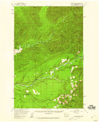
1956 · Salmon River
USGS Topo · 1:62,500
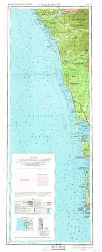
1957 · Copalis Beach
USGS Topo · 1:250,000
1958 · Seattle
USGS Topo · 1:250,000
1962 · Seattle
USGS Topo · 1:250,000