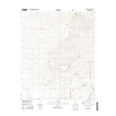
2013 Map of Third Canyon
USGS Topo · Published 2013About this map
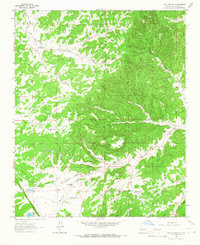
Cibola National Forest encompasses the eastern half of this landscape, where the high desert terrain is defined by complex drainages and mesas. This portion of Catron County shows a ranching-focused economy, anchored by the McPhaul Ranch and various water-gathering points such as the Corral Windmill and Swingle Windmill. The topography is marked by significant erosion features, including the sweeping Veteado Draw and the expansive Third Canyon Mesa. Water management is central to life here, evidenced by Trinchera Lake, Sunflower Lake, and several tanks like the Freeland Arroyo Tank and Oat Tank that dot the arroyos. Deep canyons like Harrington Canyon and Goat Tank Canyon cut through the high ground, eventually leading toward the Rio Salado in the northeast corner, illustrating the intricate watershed that supports this remote corner of New Mexico.
Find a feature on this map
31 named features on this map. Tap any name to fly to it.
Don’t see what you’re looking for? This feature index may not catch every label — zoom into the map to look around manually.
Map Details
Editions of this 2013 Third Canyon Map
This is the sole edition of this map. No revisions or reprints were ever made.
Other maps of this area
1917 · Broom Mountain
USGS Topo · 1:125,000

1954 · Saint Johns
USGS Topo · 1:250,000

1954 · Socorro
USGS Topo · 1:250,000

1957 · Saint Johns
USGS Topo · 1:250,000

1958 · Socorro
USGS Topo · 1:250,000

1958 · Saint Johns
USGS Topo · 1:250,000
1962 · Socorro
USGS Topo · 1:250,000

1962 · Saint Johns
USGS Topo · 1:250,000
1963 · Cal Ship Mesa
USGS Topo · 1:24,000
1964 · Third Canyon
USGS Topo · 1:24,000