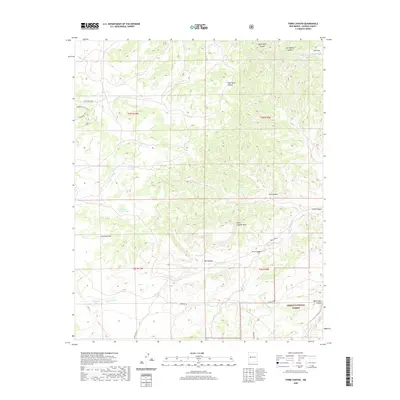
2020 Map of Third Canyon
USGS Topo · Published 2020About this map
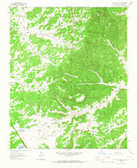
Cibola National Forest encompasses the southeastern portion of this map, where the high mesa country meets a network of seasonal watercourses and drainage basins. The landscape is defined by the intermittent flow of Alamocita Cr, which winds through the southern half of the quadrangle, eventually feeding into the Trinchera Lake area. To the north, the Rio Salado cuts through Cow Flat, while prominent landforms like Third Canyon Mesa and Veteado Draw reveal the complex erosional geography of Catron County.
Find a feature on this map
31 named features on this map. Tap any name to fly to it.
Don’t see what you’re looking for? This feature index may not catch every label — zoom into the map to look around manually.
Map Details
Editions of this 2020 Third Canyon Map
This is the sole edition of this map. No revisions or reprints were ever made.
Other maps of this area
1917 · Broom Mountain
USGS Topo · 1:125,000

1954 · Saint Johns
USGS Topo · 1:250,000

1954 · Socorro
USGS Topo · 1:250,000

1957 · Saint Johns
USGS Topo · 1:250,000

1958 · Socorro
USGS Topo · 1:250,000

1958 · Saint Johns
USGS Topo · 1:250,000
1962 · Socorro
USGS Topo · 1:250,000

1962 · Saint Johns
USGS Topo · 1:250,000
1963 · Cal Ship Mesa
USGS Topo · 1:24,000
1964 · Third Canyon
USGS Topo · 1:24,000