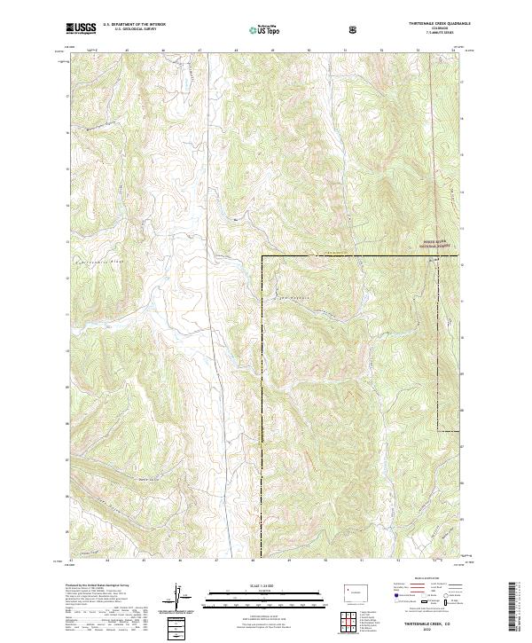
2022 Map of Thirteenmile Creek
USGS Topo · Published 2022About this map
White River National Forest lands dominate the eastern portion of this landscape, where the dramatic geologic formation known as the Grand Hogback cuts through the terrain. This topographic study reveals a complex network of drainage basins, characterized by numerous gulches and creeks that define the local hydrology. Piceance Cr serves as a primary artery through the central valley, flanked by distinctive elevations like Big Mtn and the sprawling Fourteenmile Ridge. The layout of roads such as Piceance Creek and Thirteen Mile Creek Rd illustrates how transportation routes have historically followed these natural watercourses. The map also delineates the Rio Blanco Co Garfield Co boundary, showing the administrative division of this western Colorado high country. Researchers can trace the transition from public forest land to the private tracts and ranch roads like Little Ranch Dr N further north.
Find a feature on this map
31 named features on this map. Tap any name to fly to it.
Don’t see what you’re looking for? This feature index may not catch every label — zoom into the map to look around manually.
Map Details
Editions of this 2022 Thirteenmile Creek Map
This is the sole edition of this map. No revisions or reprints were ever made.
Other maps of this area

1906 · Grand Hogback
USGS Topo · 1:125,000

1910 · Grand Hogback
USGS Topo · 1:125,000

1925 · Parachute Creek
USGS Topo · 1:62,500

1927 · Parachute Creek
USGS Topo · 1:62,500

1952 · Rio Blanco
USGS Topo · 1:24,000

1952 · Horse Mountain
USGS Topo · 1:24,000

1952 · No Name Ridge
USGS Topo · 1:24,000

1952 · Segar Mountain
USGS Topo · 1:24,000

1956 · Grand Junction
USGS Topo · 1:250,000

1957 · Leadville
USGS Topo · 1:250,000