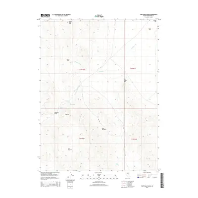
2014 Map of Thirtymile Ranch
USGS Topo · Published 2014About this map
Thirtymile Ranch sits at the heart of this high-desert landscape in White Pine County, where water is the primary architect of human presence. Life in this arid basin is dictated by proximity to vital sources like Thirtymile Spring and Summit Spring, which support the remote ranching operations near the western edge of the Butte Mountains. The map reveals a network of county roads, including the descriptive Thirty Mile Rd, tracing paths through Queue Valley and Butte Valley. Distinctive landforms such as Red Pepper Butte, the Sugarloaf peak, and the high elevation of Robbers Roost Ridge provide orientation across the sage-covered terrain. Ephemeral drainage systems, including White Sage Wash and Thirtymile Wash, underscore the seasonal rhythms of the Great Basin environment, where even a single Silver Tank represents a significant landmark for local land management.
Find a feature on this map
23 named features on this map. Tap any name to fly to it.
Don’t see what you’re looking for? This feature index may not catch every label — zoom into the map to look around manually.
Map Details
Editions of this 2014 Thirtymile Ranch Map
This is the sole edition of this map. No revisions or reprints were ever made.
Other maps of this area
1951 · Illipah
USGS Topo · 1:62,500

1956 · Ely
USGS Topo · 1:250,000

1959 · Ely
USGS Topo · 1:250,000
1959 · Reipetown
USGS Topo · 1:62,500
1962 · Hunter Point
USGS Topo · 1:24,000

1963 · Ely
USGS Topo · 1:250,000
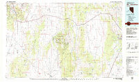
1979 · Mt. Hamilton
USGS Topo · 1:100,000
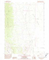
1982 · White Sage Well
USGS Topo · 1:24,000
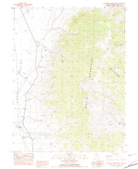
1982 · McBrides Sheep Well
USGS Topo · 1:24,000
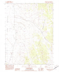
1982 · Dickenson Well
USGS Topo · 1:24,000