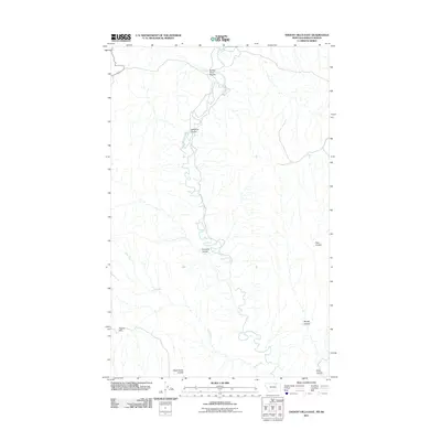
2011 Map of Thoeny Hills East
USGS Topo · Published 2011About this map
Frenchman Creek meanders through this portion of Phillips County near the Montana-Saskatchewan border, carving a complex drainage network into the northern plains. The landscape is defined by its numerous coulees, which serve as the primary topographic markers in this sparsely populated territory. These intermittent watercourses, including Turkey Track Coulee and Steelman Coulee, suggest a terrain shaped by erosion and seasonal runoff typical of the high prairie.
Find a feature on this map
9 named features on this map. Tap any name to fly to it.
Don’t see what you’re looking for? This feature index may not catch every label — zoom into the map to look around manually.
Map Details
Editions of this 2011 Thoeny Hills East Map
This is the sole edition of this map. No revisions or reprints were ever made.
Other maps of this area

1954 · Glasgow
USGS Topo · 1:250,000

1957 · Glasgow
USGS Topo · 1:250,000

1958 · Glasgow
USGS Topo · 1:250,000

1984 · Thoeny Hills East
USGS Topo · 1:24,000

1984 · Coulter Coulee
USGS Topo · 1:24,000

1984 · Dead Horse Coulee
USGS Topo · 1:24,000

1984 · Crow Creek Dam
USGS Topo · 1:24,000
1984 · Thoeny Hills West
USGS Topo · 1:24,000
1984 · Salsbery Reservoir
USGS Topo · 1:24,000
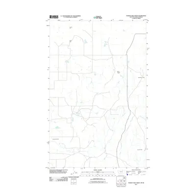
2011 · Thoeny Hills West
USGS Topo · 1:24,000