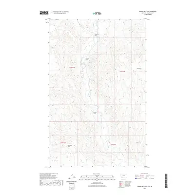
2020 Map of Thoeny Hills East
USGS Topo · Published 2020About this map
Thoeny Hills and the winding coulees of northern Phillips County define this high plains landscape just south of the Canadian border. The drainage network is dominated by Frenchman Creek, which flows southward through a series of deeply etched ravines including Turkey Track Coulee and Steelman Coulee. This 2020 survey illustrates a sparsely populated region where the land is primarily organized by the Public Land Survey System grid, as evidenced by the boundaries of t37n r33e and t36n r34e. Local landmarks such as Dead Horse Coulee and Kennedy Coulee suggest the historic movement of livestock and travelers across this arid terrain. Only a few secondary routes, like Barnard Rd, provide access to these remote breaks and creek bottoms, where Sand Cr and Woody Coulee further carve the rolling topography.
Find a feature on this map
15 named features on this map. Tap any name to fly to it.
Don’t see what you’re looking for? This feature index may not catch every label — zoom into the map to look around manually.
Map Details
Editions of this 2020 Thoeny Hills East Map
This is the sole edition of this map. No revisions or reprints were ever made.
Other maps of this area

1954 · Glasgow
USGS Topo · 1:250,000

1957 · Glasgow
USGS Topo · 1:250,000

1958 · Glasgow
USGS Topo · 1:250,000
1984 · Thoeny Hills East
USGS Topo · 1:24,000
1984 · Coulter Coulee
USGS Topo · 1:24,000
1984 · Dead Horse Coulee
USGS Topo · 1:24,000
1984 · Crow Creek Dam
USGS Topo · 1:24,000
1984 · Thoeny Hills West
USGS Topo · 1:24,000
1984 · Salsbery Reservoir
USGS Topo · 1:24,000
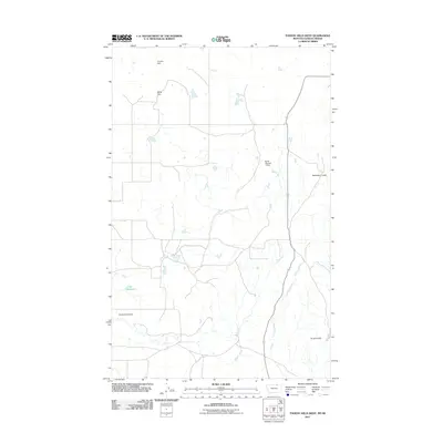
2011 · Thoeny Hills West
USGS Topo · 1:24,000