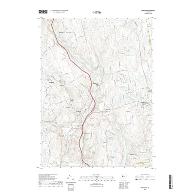
2021 Map of Thomaston
USGS Topo · Published 2021About this map
The Naugatuck River corridor and its industrial valley define this landscape, where steep topography transitions into the established settlements of Thomaston and Plymouth. The map documents a significant water management network, featuring the Terryville Reservoir Number 2 and the Bristol Reservoir Number Three alongside Hancock Brook Lake. These reservoirs reflect the area's historical reliance on managed water for local industry and public utility.
Find a feature on this map
196 named features on this map. Tap any name to fly to it.
Don’t see what you’re looking for? This feature index may not catch every label — zoom into the map to look around manually.
Map Details
Editions of this 2021 Thomaston Map
This is the sole edition of this map. No revisions or reprints were ever made.
Other maps of this area

1892 · Winsted
USGS Topo · 1:62,500

1892 · Meriden
USGS Topo · 1:62,500

1892 · Granby
USGS Topo · 1:62,500

1893 · Waterbury
USGS Topo · 1:62,500

1893 · Meriden
USGS Topo · 1:62,500

1904 · Waterbury
USGS Topo · 1:62,500

1904 · Litchfield
USGS Topo · 1:125,000

1906 · Farmington
USGS Topo · 1:125,000
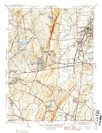
1946 · Southington
USGS Topo · 1:31,680

1946 · Bristol
USGS Topo · 1:31,680