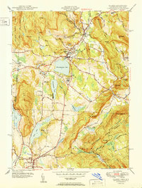
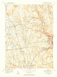
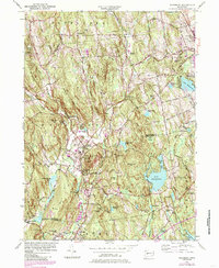
2024 Map of Thomaston
USGS Topo · Published 2024About this map
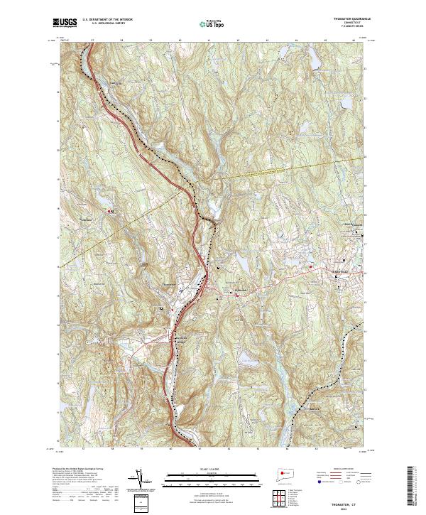
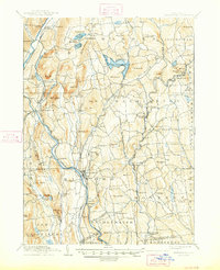
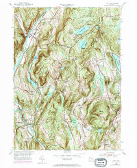
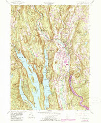
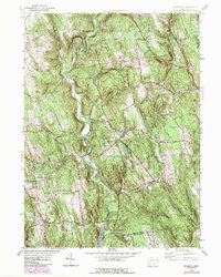
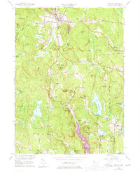
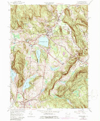
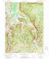
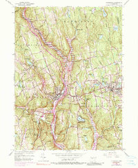
The Naugatuck River corridor carves a deep valley through Litchfield County, anchoring the industrial and transportation history of Thomaston and Reynolds Bridge. This 2024 survey captures the densely settled centers of Terryville and Plymouth as they sit atop the ridge overlooking the river valley. The landscape is dotted with evidence of early settlement, including the Plymouth Burying Ground and Hillside Cem, while more modern features like the Waterbury Airport near Mt Tobe reflect the area's continued infrastructure development.
Find a feature on this map
224 named features on this map. Tap any name to fly to it.
Don’t see what you’re looking for? This feature index may not catch every label — zoom into the map to look around manually.
Map Details
Editions of this 2024 Thomaston Map
This is the sole edition of this map. No revisions or reprints were ever made.
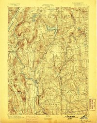
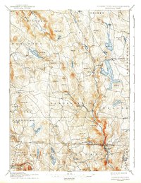
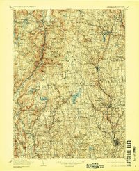
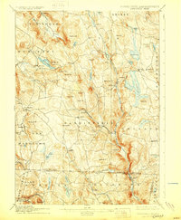
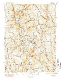
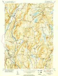
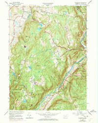
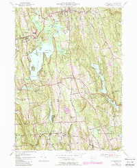
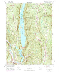
Historical Maps of Reynolds Bridge Through Time
46 maps found

1892 New Milford
Litchfield County, CT
1893 New Milford
Litchfield County, CT

1893 Sandisfield
Litchfield County, CT
1897 Sandisfield
Litchfield County, CT
1904 Litchfield
Litchfield County, CT
1904 New Milford
Litchfield County, CT
1907 Sandisfield
Litchfield County, CT

1948 Sharon
Litchfield County, CT

1948 Woodbury
Litchfield County, CT
1949 Roxbury
Litchfield County, CT

1950 Ellsworth
Litchfield County, CT
1950 Kent
Litchfield County, CT

1950 Litchfield
Litchfield County, CT
1950 Sharon
Litchfield County, CT
1950 South Canaan
Litchfield County, CT

1950 Woodbury
Litchfield County, CT

1951 New Hartford
Litchfield County, CT
1951 New Milford
Litchfield County, CT

1951 Norfolk
Litchfield County, CT
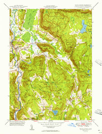
1951 Thomaston
Litchfield County, CT
1951 West Torrington
Litchfield County, CT
1955 Kent
Litchfield County, CT
1955 New Milford
Litchfield County, CT
1955 Roxbury
Litchfield County, CT
1955 Woodbury
Litchfield County, CT
1956 Ellsworth
Litchfield County, CT
1956 Litchfield
Litchfield County, CT
1956 New Hartford
Litchfield County, CT
1956 Norfolk
Litchfield County, CT
1956 Sharon
Litchfield County, CT
1956 South Canaan
Litchfield County, CT
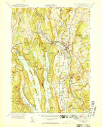
1956 Thomaston
Litchfield County, CT
1956 West Torrington
Litchfield County, CT

1965 Norfolk
Litchfield County, CT
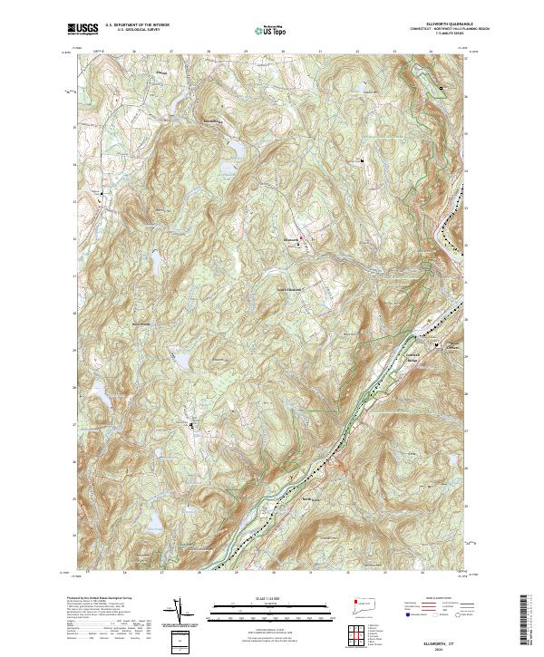
2024 Ellsworth
Litchfield County, CT
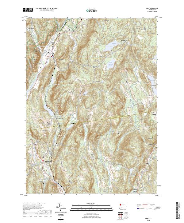
2024 Kent
Litchfield County, CT
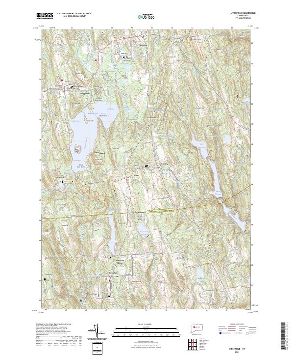
2024 Litchfield
Litchfield County, CT
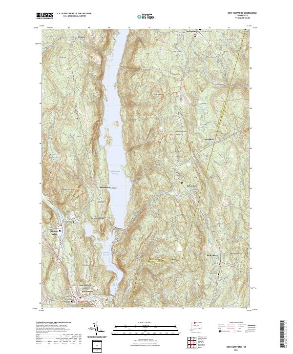
2024 New Hartford
Litchfield County, CT
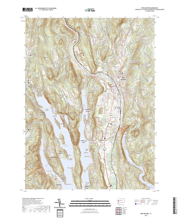
2024 New Milford
Litchfield County, CT
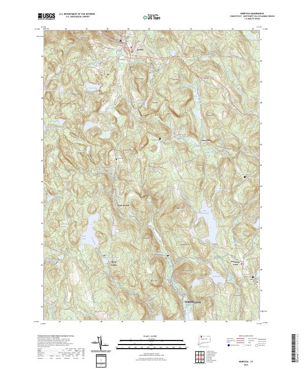
2024 Norfolk
Litchfield County, CT
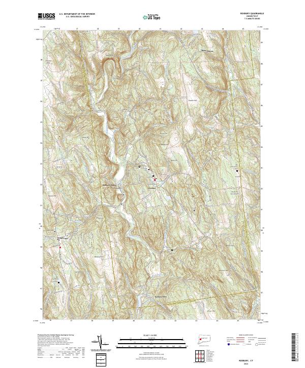
2024 Roxbury
Litchfield County, CT
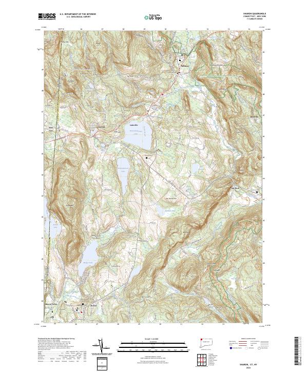
2024 Sharon
Litchfield County, CT
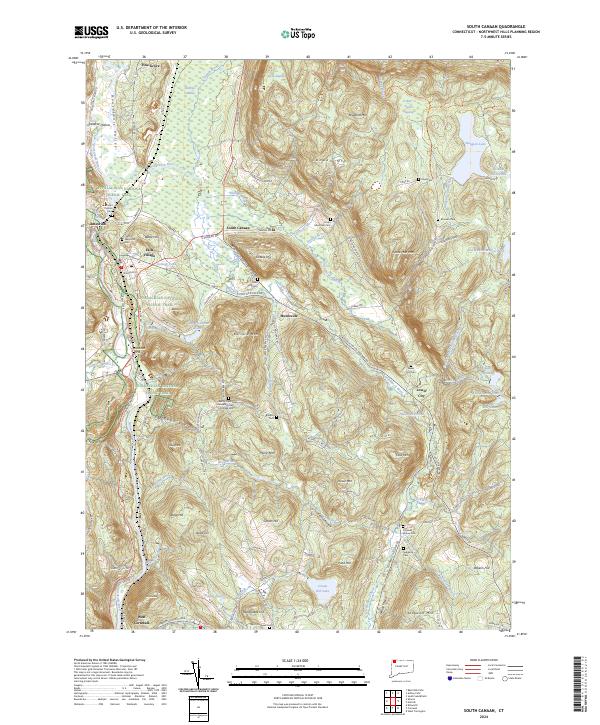
2024 South Canaan
Litchfield County, CT
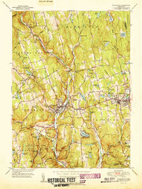
2024 Thomaston
Litchfield County, CT
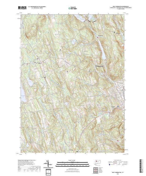
2024 West Torrington
Litchfield County, CT
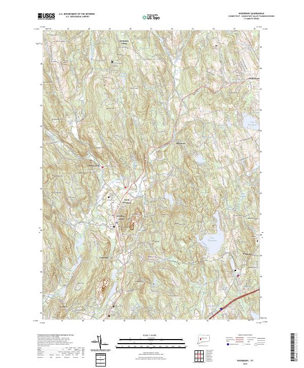
2024 Woodbury
Litchfield County, CT