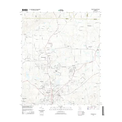
2014 Map of Thomaston
USGS Topo · Published 2014About this map
Thomaston serves as the central hub of this Upson County landscape, surrounded by industrial and residential satellite communities like Silvertown, East Thomaston, and Sunset Village. The area's mill heritage is evident at Hannahs Mill and Paynes Mill, where settlements grew around early industrial sites along the local waterways. Topographical features such as Indian Grave Mtn and Hagens Mtn rise to the north, while the winding course of Potato Creek and its many tributaries, including Fivemile Cr and Threemile Cr, dominate the drainage pattern. For genealogists, the map is a dense record of local family and community history, documenting numerous burial grounds including Glenwood Cem, Crystal Hill Cem, and Antioch Cem. Modern infrastructure like the Thomaston-Upson County Airport and the Leon Smith Bridge contrast with established locales like Delray and Dog Crossing, illustrating the continued evolution of this Middle Georgia region.
Find a feature on this map
219 named features on this map. Tap any name to fly to it.
Don’t see what you’re looking for? This feature index may not catch every label — zoom into the map to look around manually.
Map Details
Editions of this 2014 Thomaston Map
This is the sole edition of this map. No revisions or reprints were ever made.
Other maps of this area

1935 · Thomaston
USGS Topo · 1:48,000

1939 · Thomaston
USGS Topo · 1:62,500

1951 · Yatesville
USGS Topo · 1:62,500

1951 · Barnesville
USGS Topo · 1:62,500

1953 · Atlanta
USGS Topo · 1:250,000

1955 · Phenix City
USGS Topo · 1:250,000

1957 · Phenix City
USGS Topo · 1:250,000

1957 · Atlanta
USGS Topo · 1:250,000

1958 · Phenix City
USGS Topo · 1:250,000

1958 · Atlanta
USGS Topo · 1:250,000