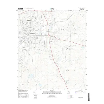
2017 Map of Thomasville
USGS Topo · Published 2017About this map
Thomasville serves as the focal point of this South Georgia landscape, illustrating the city's modern street grid and its connection to the surrounding agricultural and plantation lands. The map details an extensive array of local burial grounds, ranging from the central Magnolia Cem and Hebrew Cem to the outlying Newark Community Cem and Benton Cem, providing significant data for genealogical research. Educational and recreational landmarks are prominent, including the campus of Thomas Univ and several water bodies such as Cherokee Lake and Powell Lake. To the southeast, the terrain transitions into the wetlands and drainages of Hammonds Slough and McKeever Slough, which define the local hydrology alongside Wards Cr and Olive Cr. Small settlements like Newark anchor the eastern portions of the quadrangle, connected by a network of rural roads.
Find a feature on this map
216 named features on this map. Tap any name to fly to it.
Don’t see what you’re looking for? This feature index may not catch every label — zoom into the map to look around manually.
Map Details
Editions of this 2017 Thomasville Map
This is the sole edition of this map. No revisions or reprints were ever made.
Other maps of this area

1954 · Valdosta
USGS Topo · 1:250,000

1954 · Tallahassee
USGS Topo · 1:250,000

1956 · Monticello NE
USGS Topo · 1:24,000

1956 · Cairo
USGS Topo · 1:62,500

1956 · Metcalf
USGS Topo · 1:24,000

1957 · Miccosukee NE
USGS Topo · 1:24,000

1957 · Thomasville
USGS Topo · 1:62,500

1958 · Valdosta
USGS Topo · 1:250,000

1959 · Tallahassee
USGS Topo · 1:250,000

1959 · Valdosta
USGS Topo · 1:250,000
Featured Places
- Thomasville, GA
- Theodore Heights, Thomasville
- Newark, GA
- Fletcherville, Thomasville
- McLoughlin Heights, Thomasville