
1985 Map of Thompson Coulee
USGS Topo · Published 1985About this map
Knox Ridge and Snell Ridge dominate this Fergus County landscape, defining the complex drainage patterns of the Missouri River basin. This 1985 provisional study captures a topography shaped by seasonal watercourses and deep coulees, where Armells Creek and its tributary Dry Armells Creek wind through the breaks. The network of winding drainages like Sourdough Creek and Sawmill Coulee reflects a classic Montana ranching environment, where water access dictated the placement of unimproved roads and trails. The map serves as a detailed record of land use and natural drainage prior to modern digital updates, preserving the specific nomenclature of features like Antelope Coulee and Thompson Coulee that define this interior plateau.
Find a feature on this map
8 named features on this map. Tap any name to fly to it.
Don’t see what you’re looking for? This feature index may not catch every label — zoom into the map to look around manually.
Map Details
Editions of this 1985 Thompson Coulee Map
This is the sole edition of this map. No revisions or reprints were ever made.
Other maps of this area

1943 · Landusky
USGS Topo · 1:125,000

1954 · Baker Monument
USGS Topo · 1:24,000

1954 · Grand Island
USGS Topo · 1:24,000

1954 · Lewistown
USGS Topo · 1:250,000

1959 · Lewistown
USGS Topo · 1:250,000

1978 · Lewistown
USGS Topo · 1:100,000

1984 · Zortman
USGS Topo · 1:100,000

1985 · Griffee Coulee
USGS Topo · 1:24,000
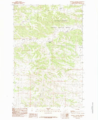
1985 · Mitchell Crossing
USGS Topo · 1:24,000
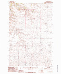
1985 · Roy NW
USGS Topo · 1:24,000