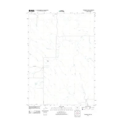
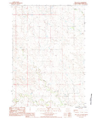
2012 Map of Thompson Lake
USGS Topo · Published 2012About this map
The hydrological network of South Dakota's interior plains defines this landscape, where Cherry Cr and its various tributaries carve a complex drainage pattern across the prairie. The namesake Thompson Lake sits in the southwestern quadrant, serving as a significant water feature in an otherwise arid expanse of rangeland. Local transportation is facilitated by rural routes such as Co Hwy Mc-24 and Old Marcus Rd, which connect the isolated ranching properties and open spaces typical of this region.
Find a feature on this map
14 named features on this map. Tap any name to fly to it.
Don’t see what you’re looking for? This feature index may not catch every label — zoom into the map to look around manually.
Map Details
Editions of this 2012 Thompson Lake Map
This is the sole edition of this map. No revisions or reprints were ever made.
Other maps of this area

1953 · Rapid City
USGS Topo · 1:250,000
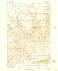
1955 · Howes
USGS Topo · 1:24,000

1957 · Rapid City
USGS Topo · 1:250,000
1983 · Plainview
USGS Topo · 1:24,000
1983 · Avance SE
USGS Topo · 1:24,000
1983 · Lemmon Creek
USGS Topo · 1:24,000
1983 · Whiteman Owl SE
USGS Topo · 1:24,000
1983 · Reed Dam
USGS Topo · 1:24,000
1983 · Marcus
USGS Topo · 1:24,000
1983 · Opal East SE
USGS Topo · 1:24,000