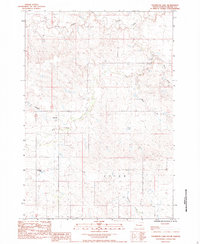
1983 Map of Thompson Lake
USGS Topo · Published 1984About this map
Thompson Lake serves as a central landmark in this drainage-heavy landscape of western South Dakota, where the intricate network of the Cheyenne River watershed is clearly defined. The terrain is characterized by the winding paths of Cherry Creek in the north and Red Owl Creek through the center, illustrating the erosional patterns of the northern plains. This provisional study, based on 1970s aerial photography and early 1980s field checks, reveals a landscape primarily dedicated to ranching and open range, evidenced by features like Cowboy Draw.
Find a feature on this map
8 named features on this map. Tap any name to fly to it.
Don’t see what you’re looking for? This feature index may not catch every label — zoom into the map to look around manually.
Map Details
Editions of this 1983 Thompson Lake Map
This is the sole edition of this map. No revisions or reprints were ever made.
Other maps of this area

1953 · Rapid City
USGS Topo · 1:250,000

1955 · Howes
USGS Topo · 1:24,000

1957 · Rapid City
USGS Topo · 1:250,000

1983 · Plainview
USGS Topo · 1:24,000
1983 · Avance SE
USGS Topo · 1:24,000
1983 · Lemmon Creek
USGS Topo · 1:24,000
1983 · Whiteman Owl SE
USGS Topo · 1:24,000
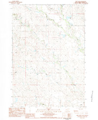
1983 · Reed Dam
USGS Topo · 1:24,000

1983 · Marcus
USGS Topo · 1:24,000
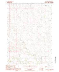
1983 · Opal East SE
USGS Topo · 1:24,000