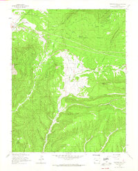
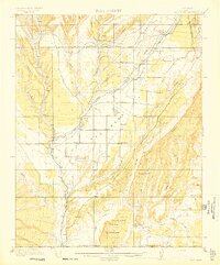
1963 Map of Thompson Park
USGS Topo · Published 1965About this map
The high-altitude landscape of the La Plata Mountains dominates this southwestern Colorado survey, where the rugged peaks of Caviness Mountain and Menefee Mountain overlook the central valley of Thompson Park. This area serves as a significant intersection of natural terrain and early transportation routes, marked by the presence of the Navajo Trail and an Old Railroad Grade cutting across the northern reaches of the San Juan National Forest.
Find a feature on this map
28 named features on this map. Tap any name to fly to it.
Don’t see what you’re looking for? This feature index may not catch every label — zoom into the map to look around manually.
Map Details
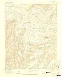
Editions of this 1963 Thompson Park Map
3 editions found

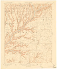
Other maps of this area

1895 · La Plata
USGS Topo · 1:62,500

1897 · La Plata
USGS Topo · 1:62,500

1899 · La Plata
USGS Topo · 1:62,500
1908 · La Plata
USGS Topo · 1:62,500
1912 · Soda Canyon
USGS Topo · 1:62,500
1913 · Red Mesa
USGS Topo · 1:62,500
1915 · Soda Canyon
USGS Topo · 1:62,500

1956 · Cortez
USGS Topo · 1:250,000

1958 · Cortez
USGS Topo · 1:250,000

1959 · Cortez
USGS Topo · 1:250,000