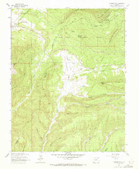
1963 Map of Thompson Park
USGS Topo · Published 1972About this map
Thompson Park sits at the intersection of high alpine peaks and agricultural valley floors along the border of Montezuma and La Plata counties. This mid-century survey reveals a landscape shaped by early transportation and local utility, where an Old Railroad Grade and the Navajo Trail traverse the base of the La Plata Mountains. The local community is anchored by the Thompson Park Sch and Thompson Park Cem, while the rugged northern half of the sheet is dominated by the San Juan National Forest and high-altitude landmarks like Menefee Peak and Caviness Mountain. Water management is central to the area's layout, evidenced by numerous named draws such as Deadman Gulch and Alkali Gulch, alongside essential irrigation works like the Spansel Reservoir and Cottonwood Reservoir.
Find a feature on this map
34 named features on this map. Tap any name to fly to it.
Don’t see what you’re looking for? This feature index may not catch every label — zoom into the map to look around manually.
Map Details
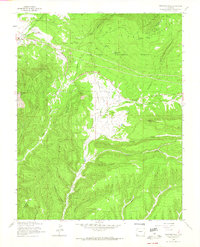
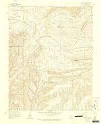
Editions of this 1963 Thompson Park Map
3 editions found
Other maps of this area

1895 · La Plata
USGS Topo · 1:62,500

1897 · La Plata
USGS Topo · 1:62,500

1899 · La Plata
USGS Topo · 1:62,500

1908 · La Plata
USGS Topo · 1:62,500

1912 · Soda Canyon
USGS Topo · 1:62,500

1913 · Red Mesa
USGS Topo · 1:62,500

1915 · Soda Canyon
USGS Topo · 1:62,500

1956 · Cortez
USGS Topo · 1:250,000

1958 · Cortez
USGS Topo · 1:250,000

1959 · Cortez
USGS Topo · 1:250,000