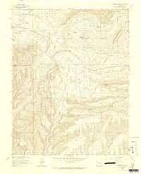
1963 Map of Thompson Park
USGS Topo · Published 1965About this map
The San Juan National Forest defines the rugged topography of this southwestern Colorado region, where the Montezuma and La Plata county line cuts through the high country. The landscape is marked by the deep incisions of Devils Canyon and the prominent heights of Menefee Peak and Maggie Rock. Evidence of early transportation and resource management is clear, with the Old Railroad Grade and the Navajo Trail traversing the terrain alongside an established pipeline. In the valley of Cherry Creek, the small rural hub of Thompson Park serves as a focal point for local history, featuring the Thompson Park Sch and Thompson Park Cem. Water management is vital to the area, as seen in the scattered network of reservoirs including Sponsel Reservoir and Cherry Creek Reservoir, which supported ranching and settlement in the mid-20th century.
Find a feature on this map
30 named features on this map. Tap any name to fly to it.
Don’t see what you’re looking for? This feature index may not catch every label — zoom into the map to look around manually.
Map Details
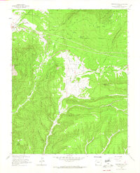
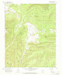
Editions of this 1963 Thompson Park Map
3 editions found
Other maps of this area

1895 · La Plata
USGS Topo · 1:62,500

1897 · La Plata
USGS Topo · 1:62,500

1899 · La Plata
USGS Topo · 1:62,500

1908 · La Plata
USGS Topo · 1:62,500

1912 · Soda Canyon
USGS Topo · 1:62,500

1913 · Red Mesa
USGS Topo · 1:62,500

1915 · Soda Canyon
USGS Topo · 1:62,500

1956 · Cortez
USGS Topo · 1:250,000

1958 · Cortez
USGS Topo · 1:250,000

1959 · Cortez
USGS Topo · 1:250,000