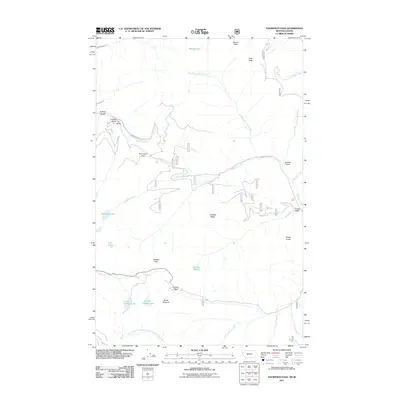
2011 Map of Thompson Pass
USGS Topo · Published 2011About this map
Thompson Pass and Glidden Pass serve as the primary gateways through this high-altitude section of the Bitterroot Mountains, defining the border between Shoshone County, Idaho, and Sanders County, Montana. The 2011 landscape is dominated by the complex drainage systems of Prospect Creek flowing eastward and the Little North Fork South Fork Coeur d'Alene River to the west. This geography represents a classic high-country transport network where State Hwy 4 and various Forest Service routes like Nat For Dev Rd 9 follow the natural contours of the ridges and gulches.
Find a feature on this map
35 named features on this map. Tap any name to fly to it.
Don’t see what you’re looking for? This feature index may not catch every label — zoom into the map to look around manually.
Map Details
Editions of this 2011 Thompson Pass Map
This is the sole edition of this map. No revisions or reprints were ever made.
Other maps of this area
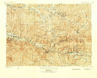
1901 · Coeur D'Alene District
USGS Topo · 1:62,500
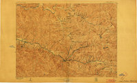
1903 · Coeur D'Alene District
USGS Topo · 1:62,500
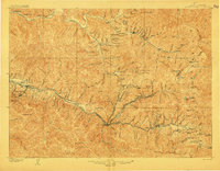
1906 · Coeur D'Alene District
USGS Topo · 1:62,500
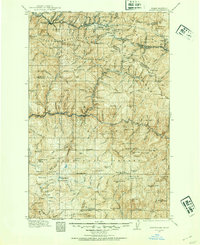
1914 · Avery
USGS Topo · 1:125,000
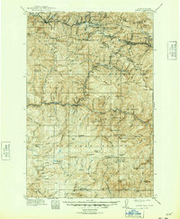
1917 · Avery
USGS Topo · 1:125,000
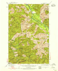
1932 · Trout Creek
USGS Topo · 1:125,000
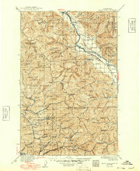
1935 · Trout Creek
USGS Topo · 1:125,000
1936 · Trout Creek
USGS Topo · 1:125,000
1956 · Cooper Gulch
USGS Topo · 1:62,500
1956 · Saltese
USGS Topo · 1:62,500