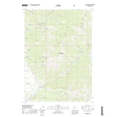
2020 Map of Thompson Peak
USGS Topo · Published 2020About this map
Swan Valley and the neighboring settlement of Irwin anchor the southwestern corner of this Idaho high-country survey, where local life follows the valley floor of the Snake River drainage. The landscape is dominated by the Targhee National Forest, a terrain of high ridges and deep canyons including Baldy Canyon, Dry Elk Canyon, and Woodpecker Canyon. Named summits like Thompson Peak, Atkinson Peak, and Baldy Mtn define the horizon, while the water network is anchored by Lower Palisades Lake and the drainage of Palisades Cr.
Find a feature on this map
72 named features on this map. Tap any name to fly to it.
Don’t see what you’re looking for? This feature index may not catch every label — zoom into the map to look around manually.
Map Details
Editions of this 2020 Thompson Peak Map
This is the sole edition of this map. No revisions or reprints were ever made.
Other maps of this area

1932 · Irwin
USGS Topo · 1:96,000

1935 · Irwin
USGS Topo · 1:125,000

1943 · Driggs
USGS Topo · 1:62,500

1943 · Garns Mtn
USGS Topo · 1:62,500

1946 · Driggs
USGS Topo · 1:62,500

1946 · Garns Mtn
USGS Topo · 1:62,500

1955 · Driggs
USGS Topo · 1:250,000

1958 · Driggs
USGS Topo · 1:250,000

1962 · Driggs
USGS Topo · 1:250,000
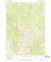
1966 · Palisades Peak
USGS Topo · 1:24,000