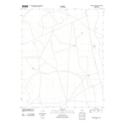
2010 Map of Thompson Ranch
USGS Topo · Published 2010About this map
Thompson Ranch serves as the primary landmark in this ranching landscape within Guadalupe County. The area is defined by the ephemeral watercourse of Agua de los Juanes, which winds across the central and southern portions of the terrain. This drainage pattern, along with Laguna Seca, highlights the vital role of water management in this arid environment. The map details a network of infrastructure necessary for livestock operations, notably including the Miser Windmill, North Windmill, and Alegre Windmill. Access through the region is facilitated by routes such as County Rd 4, which connects these remote ranching outposts to the broader county transportation system.
Find a feature on this map
7 named features on this map. Tap any name to fly to it.
Don’t see what you’re looking for? This feature index may not catch every label — zoom into the map to look around manually.
Map Details
Editions of this 2010 Thompson Ranch Map
This is the sole edition of this map. No revisions or reprints were ever made.
Other maps of this area

1890 · Bernal
USGS Topo · 1:125,000

1891 · Bernal
USGS Topo · 1:125,000

1892 · Corazon
USGS Topo · 1:125,000

1894 · Corazon
USGS Topo · 1:125,000

1894 · Bernal
USGS Topo · 1:125,000

1954 · Santa Fe
USGS Topo · 1:250,000

1954 · Fort Sumner
USGS Topo · 1:250,000

1958 · Fort Sumner
USGS Topo · 1:250,000

1958 · Santa Fe
USGS Topo · 1:250,000

1963 · Pedro Miguel Peak
USGS Topo · 1:24,000