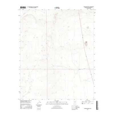
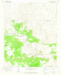
2017 Map of Thompson Ranch
USGS Topo · Published 2017About this map
Thompson Ranch serves as a central landmark in this portion of Guadalupe County, illustrating the enduring ranching economy of the New Mexico highlands. The landscape is defined by an extensive network of water management features, including named tanks and seasonal catchments such as Agua de los Juanes and Laguna Seca. These vital water sources, often bearing family or local names like Felix Dee Tank, Bibbs Tank, and Molma Moulton Tank, underscore the importance of hydrography in a region where livestock grazing depends on strategic water storage. Moving across the terrain, one finds varied water bodies from the larger Edwardo Lake to specialized catchments like Mojada Blancas Tank and Hord Tank. Infrastructure is minimal, limited largely to county routes like Co RD 4 LC, reflecting the open, rural character of the high plains ranching country during the early twenty-first century.
Find a feature on this map
17 named features on this map. Tap any name to fly to it.
Don’t see what you’re looking for? This feature index may not catch every label — zoom into the map to look around manually.
Map Details
Editions of this 2017 Thompson Ranch Map
This is the sole edition of this map. No revisions or reprints were ever made.
Other maps of this area
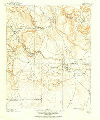
1890 · Bernal
USGS Topo · 1:125,000
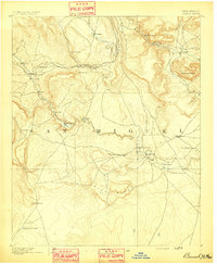
1891 · Bernal
USGS Topo · 1:125,000
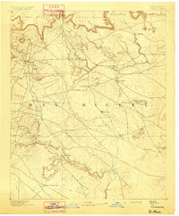
1892 · Corazon
USGS Topo · 1:125,000
1894 · Corazon
USGS Topo · 1:125,000
1894 · Bernal
USGS Topo · 1:125,000
1954 · Santa Fe
USGS Topo · 1:250,000

1954 · Fort Sumner
USGS Topo · 1:250,000

1958 · Fort Sumner
USGS Topo · 1:250,000
1958 · Santa Fe
USGS Topo · 1:250,000
1963 · Pedro Miguel Peak
USGS Topo · 1:24,000