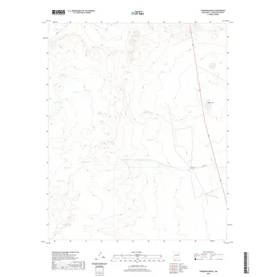
2020 Map of Thompson Ranch
USGS Topo · Published 2020About this map
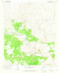
Thompson Ranch serves as a central landmark in this high-plains landscape of Guadalupe County, where water management is the defining characteristic of human activity. The map reveals a network of man-made and natural water features essential for ranching in an arid environment, including Laguna Seca and the seasonal flow of Agua de los Juanes. Named tanks are dispersed throughout the terrain, many bearing family or descriptive names such as Felix Dee Tank, Mojada Blancas Tank, and the curiously named Molma Moulton Tank.
Find a feature on this map
17 named features on this map. Tap any name to fly to it.
Don’t see what you’re looking for? This feature index may not catch every label — zoom into the map to look around manually.
Map Details
Editions of this 2020 Thompson Ranch Map
This is the sole edition of this map. No revisions or reprints were ever made.
Other maps of this area
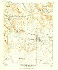
1890 · Bernal
USGS Topo · 1:125,000
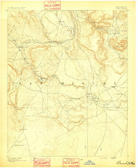
1891 · Bernal
USGS Topo · 1:125,000
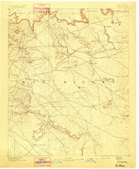
1892 · Corazon
USGS Topo · 1:125,000
1894 · Corazon
USGS Topo · 1:125,000
1894 · Bernal
USGS Topo · 1:125,000
1954 · Santa Fe
USGS Topo · 1:250,000

1954 · Fort Sumner
USGS Topo · 1:250,000

1958 · Fort Sumner
USGS Topo · 1:250,000
1958 · Santa Fe
USGS Topo · 1:250,000
1963 · Pedro Miguel Peak
USGS Topo · 1:24,000