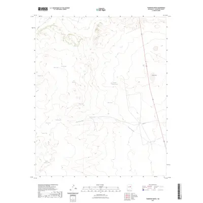
2023 Map of Thompson Ranch
USGS Topo · Published 2023About this map
Agua de los Juanes flows through this corner of Guadalupe County, defining a landscape where water management is central to the local economy. The terrain is marked by an extensive system of catchment basins and named reservoirs, such as Edwardo Lake and Laguna Seca. These features, alongside numerous tanks with family and individual names including Felix Dee Tank, Walpole Tank, and Cosme Tank, underscore the long-standing importance of ranching and livestock in this high-plains environment. The presence of Co RD 4 L and the north-south corridor of Highway 84 provide the primary infrastructure through the region. This 2023 survey by the U.S. Geological Survey preserves the specific locations of these critical water sources and rural roads as they exist in the modern era.
Find a feature on this map
17 named features on this map. Tap any name to fly to it.
Don’t see what you’re looking for? This feature index may not catch every label — zoom into the map to look around manually.
Map Details
Editions of this 2023 Thompson Ranch Map
This is the sole edition of this map. No revisions or reprints were ever made.
Other maps of this area

1890 · Bernal
USGS Topo · 1:125,000

1891 · Bernal
USGS Topo · 1:125,000

1892 · Corazon
USGS Topo · 1:125,000

1894 · Corazon
USGS Topo · 1:125,000

1894 · Bernal
USGS Topo · 1:125,000

1954 · Santa Fe
USGS Topo · 1:250,000

1954 · Fort Sumner
USGS Topo · 1:250,000

1958 · Fort Sumner
USGS Topo · 1:250,000

1958 · Santa Fe
USGS Topo · 1:250,000

1963 · Pedro Miguel Peak
USGS Topo · 1:24,000