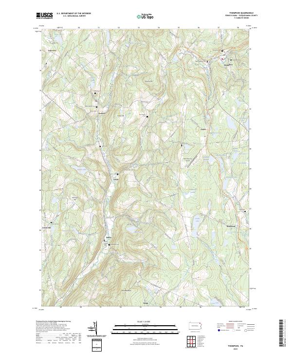
2023 Map of Thompson
USGS Topo · Published 2023About this map
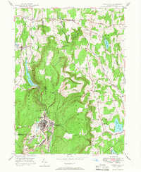
Thompson serves as the primary hub in this corner of Susquehanna County, where the historic path of the D&H Rail-Trl cuts through the landscape. This region is characterized by a high concentration of family and community burial grounds, such as Saint Mary's Russian Cem and the Jackson Baptist Cem, which offer significant value for genealogical research. The terrain is a network of ridges and water bodies, including Tunkhannock Creek, Starrucca Creek, and numerous glacial lakes like Fiddle Lake and Hathaway Lake.
Find a feature on this map
103 named features on this map. Tap any name to fly to it.
Don’t see what you’re looking for? This feature index may not catch every label — zoom into the map to look around manually.
Map Details
Editions of this 2023 Thompson Map
This is the sole edition of this map. No revisions or reprints were ever made.
Other maps of this area

1892 · Honesdale
USGS Topo · 1:62,500
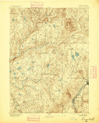
1892 · Dundaff
USGS Topo · 1:62,500
1924 · Starrucca
USGS Topo · 1:48,000
1926 · Starrucca
USGS Topo · 1:62,500
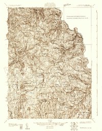
1930 · Starrucca
USGS Topo · 1:48,000
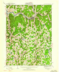
1932 · Susquehanna
USGS Topo · 1:62,500
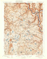
1933 · Starrucca
USGS Topo · 1:62,500
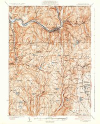
1935 · Susquehanna
USGS Topo · 1:62,500

1943 · Honesdale
USGS Topo · 1:125,000
1946 · Forest City
USGS Topo · 1:24,000