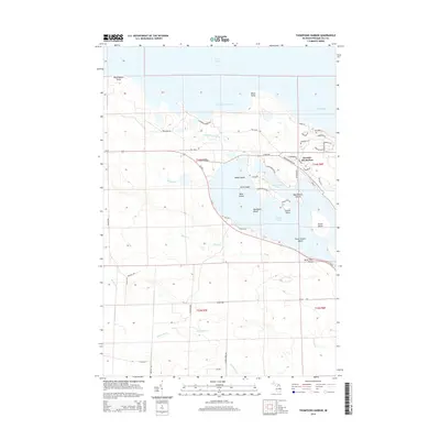
2014 Map of Thompsons Harbor
USGS Topo · Published 2014About this map
Lake Huron defines the northeastern boundary of this coastal survey, where the jagged shoreline of Presque Isle County meets the deep waters of the Great Lakes. The map illustrates a landscape dominated by complex waterways and island chains, specifically within the northern reaches of Grand Lake. Named landforms like Macombers Island, Bear Island, and the Three Sisters Island cluster near the coast, suggesting a haven for boaters and naturalists. The primary settlement, Presque Isle Harbor, sits near the protected waters of North Bay, served by a network of local roads such as Grand Pointe Hwy and Lakeside Dr.
Find a feature on this map
58 named features on this map. Tap any name to fly to it.
Don’t see what you’re looking for? This feature index may not catch every label — zoom into the map to look around manually.
Map Details
Editions of this 2014 Thompsons Harbor Map
This is the sole edition of this map. No revisions or reprints were ever made.
Other maps of this area
1954 · Alpena
USGS Topo · 1:250,000
1957 · Alpena
USGS Topo · 1:250,000
1958 · Alpena
USGS Topo · 1:250,000
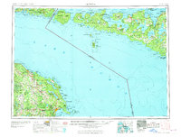
1969 · Alpena
USGS Topo · 1:250,000
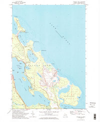
1971 · Presque Isle
USGS Topo · 1:24,000
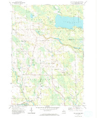
1971 · Long Lake West
USGS Topo · 1:24,000
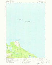
1971 · Adams Point
USGS Topo · 1:24,000
1971 · Polaski
USGS Topo · 1:24,000
1971 · Thompsons Harbor
USGS Topo · 1:24,000
1971 · Posen
USGS Topo · 1:24,000