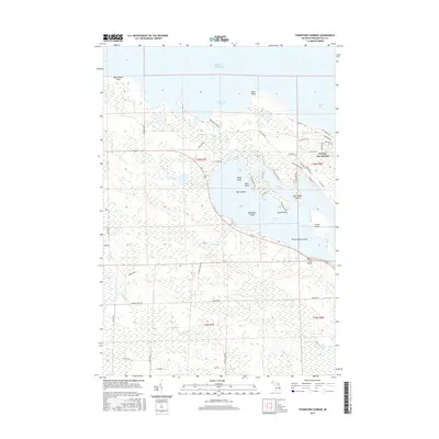
2017 Map of Thompsons Harbor
USGS Topo · Published 2017About this map
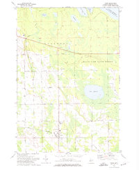
Thompsons Harbor and the jagged northeastern coastline of Lake Huron define this 2017 study of Presque Isle Township. The map centers on the transition between the lake's open waters and the intricate network of inland waterways and islands. Grand Lake dominates the southern half of the sheet, its irregular shoreline punctuated by Grand Point and Birch Tree Point. Numerous islands, including Indian Island, Bear Island, and the cluster of the Three Sisters Island, are scattered throughout these waters, indicating the complex glacial topography of the region.
Find a feature on this map
97 named features on this map. Tap any name to fly to it.
Don’t see what you’re looking for? This feature index may not catch every label — zoom into the map to look around manually.
Map Details
Editions of this 2017 Thompsons Harbor Map
This is the sole edition of this map. No revisions or reprints were ever made.
Other maps of this area

1954 · Alpena
USGS Topo · 1:250,000

1957 · Alpena
USGS Topo · 1:250,000

1958 · Alpena
USGS Topo · 1:250,000

1969 · Alpena
USGS Topo · 1:250,000
1971 · Presque Isle
USGS Topo · 1:24,000

1971 · Long Lake West
USGS Topo · 1:24,000
1971 · Adams Point
USGS Topo · 1:24,000

1971 · Polaski
USGS Topo · 1:24,000
1971 · Thompsons Harbor
USGS Topo · 1:24,000
1971 · Posen
USGS Topo · 1:24,000