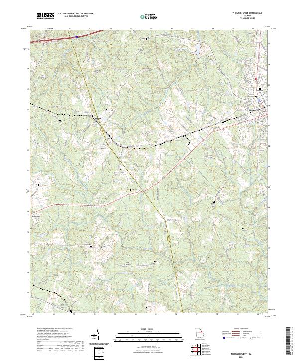
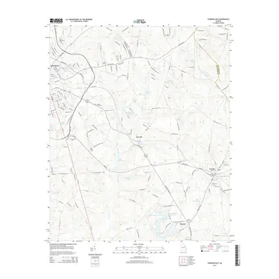
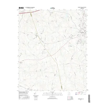
2024 Map of Thomson West
USGS Topo · Published 2024About this map
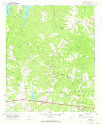
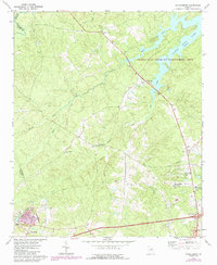
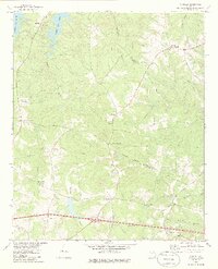
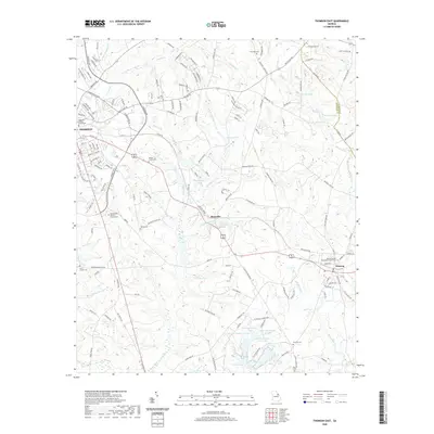
Mesena and the western outskirts of Thomson anchor this survey of the Central Savannah River Area, where the boundary between Warren and McDuffie counties follows the winding course of Brier Creek. The landscape is defined by its deep genealogical roots, evidenced by an exceptional density of family-named burial grounds and rural churches. Small agricultural settlements like Plainview are connected by a network of historic routes including Wire Rd and the Old Milledgeville Rd.
Find a feature on this map
109 named features on this map. Tap any name to fly to it.
Don’t see what you’re looking for? This feature index may not catch every label — zoom into the map to look around manually.
Map Details
Editions of this 2024 Thomson West Map
This is the sole edition of this map. No revisions or reprints were ever made.
Historical Maps of Thomson Through Time
31 maps found
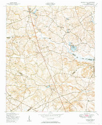
1948 Thomson East
McDuffie County, GA
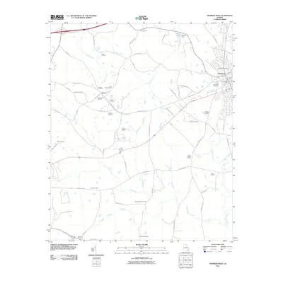
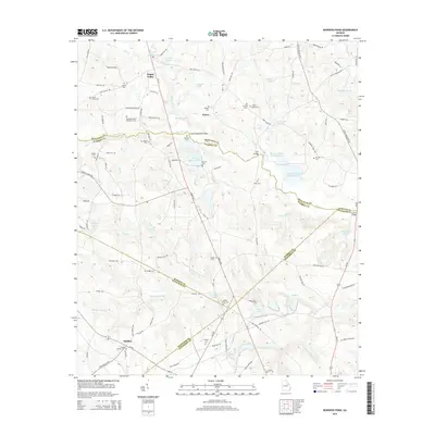
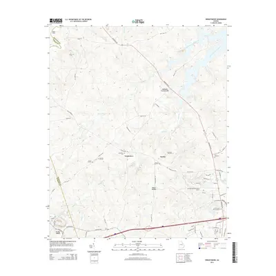
1950 Bowdens Pond
McDuffie County, GA
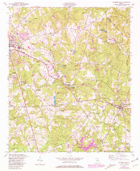
1972 Thomson West
McDuffie County, GA
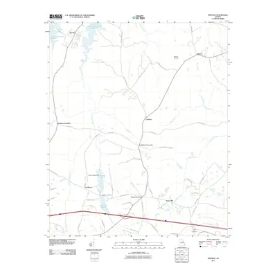
1972 Winfield
McDuffie County, GA
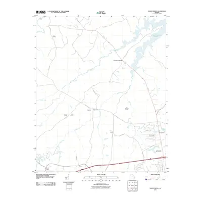
1972 Wrightsboro
McDuffie County, GA
1979 Winfield
McDuffie County, GA
2011 Bowdens Pond
McDuffie County, GA
2011 Thomson East
McDuffie County, GA
2011 Thomson West
McDuffie County, GA
2011 Winfield
McDuffie County, GA
2011 Wrightsboro
McDuffie County, GA
2014 Bowdens Pond
McDuffie County, GA
2014 Thomson East
McDuffie County, GA
2014 Thomson West
McDuffie County, GA
2014 Winfield
McDuffie County, GA
2014 Wrightsboro
McDuffie County, GA
2017 Bowdens Pond
McDuffie County, GA

2017 Thomson East
McDuffie County, GA
2017 Thomson West
McDuffie County, GA
2017 Winfield
McDuffie County, GA
2017 Wrightsboro
McDuffie County, GA
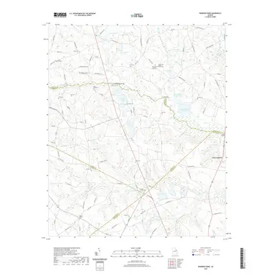
2020 Bowdens Pond
McDuffie County, GA
2020 Thomson East
McDuffie County, GA
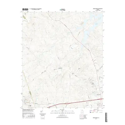
2020 Thomson West
McDuffie County, GA
2020 Winfield
McDuffie County, GA
2020 Wrightsboro
McDuffie County, GA
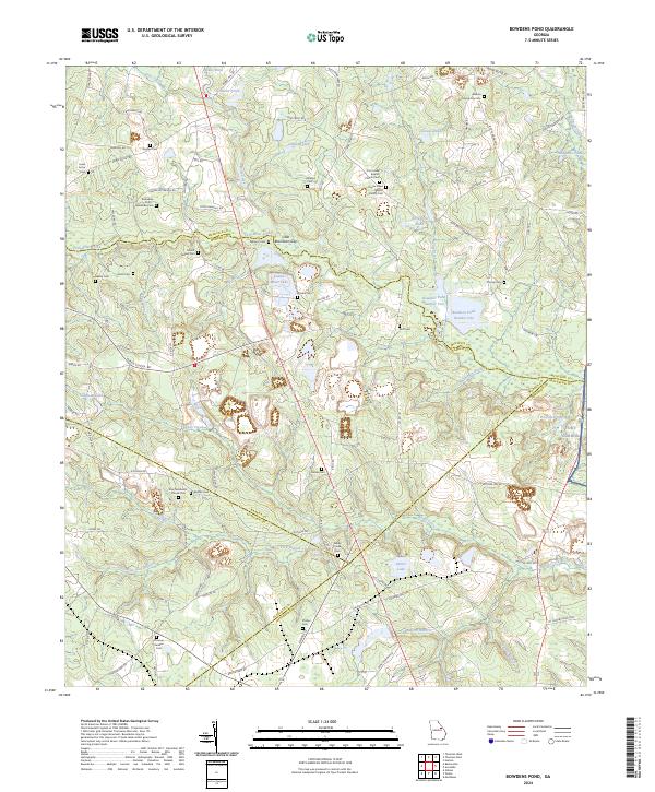
2024 Bowdens Pond
McDuffie County, GA
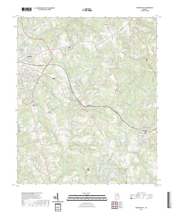
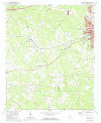
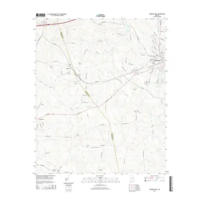
2024 Thomson East
McDuffie County, GA
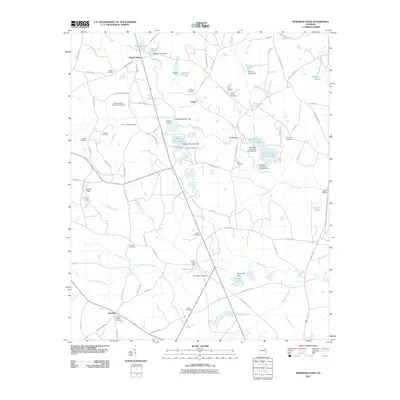
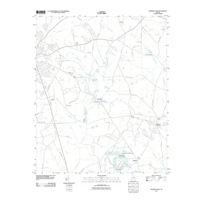
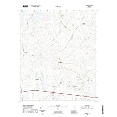
2024 Thomson West
McDuffie County, GA
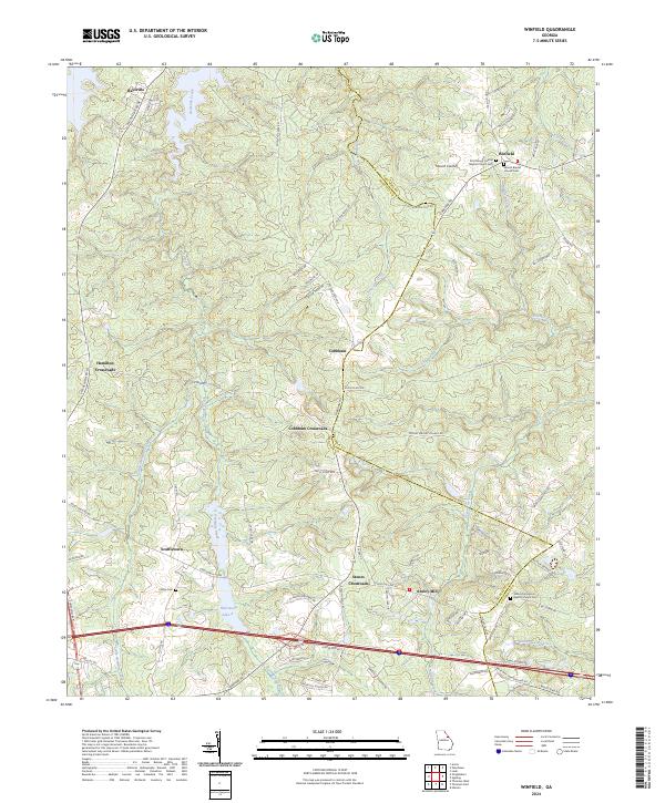
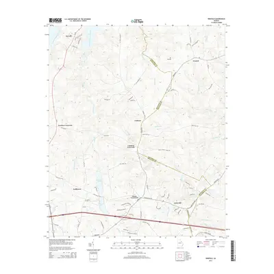
2024 Winfield
McDuffie County, GA
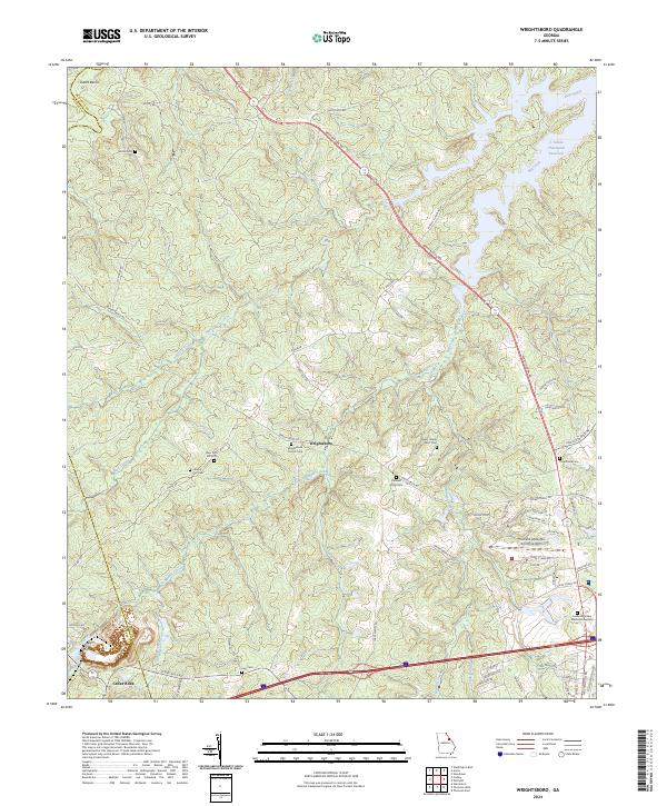
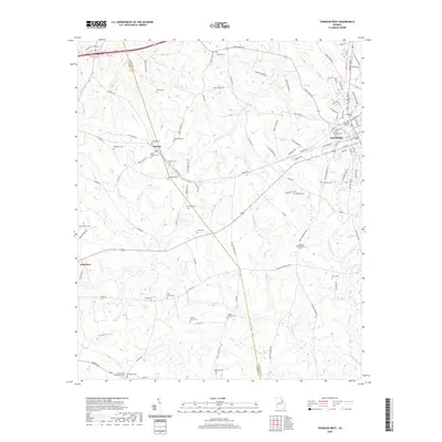
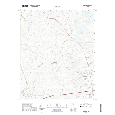
2024 Wrightsboro
McDuffie County, GA