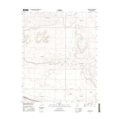
2017 Map of Thoreau NE
USGS Topo · Published 2017About this map
Rincon Canyon dominates the southeastern corner of this McKinley County landscape, where the high desert terrain is carved by seasonal drainage systems. The survey illustrates a transition from the rugged highlands into the open basins of Casamero Draw and Mitchell Draw in the south. This era of the Eastern Navajo Agency is defined by a growing network of local connectors, including Anasazi Rd and Red Cliff Rd, which weave through the complex topography of the San Juan Basin. The road names themselves, such as the Casamero Lake Loop Rd, hint at the proximity to regional landmarks and archaeological heritage just beyond the immediate quadrangle. The presence of Old Landfill Rd and modern residential naming like Woodview Dr reflects the contemporary evolution of land use in this high-altitude environment.
Find a feature on this map
19 named features on this map. Tap any name to fly to it.
Don’t see what you’re looking for? This feature index may not catch every label — zoom into the map to look around manually.
Map Details
Editions of this 2017 Thoreau NE Map
This is the sole edition of this map. No revisions or reprints were ever made.
Other maps of this area

1883 · Mt. Taylor
USGS Topo · 1:250,000

1886 · Wingate
USGS Topo · 1:250,000

1886 · Mt. Taylor
USGS Topo · 1:250,000

1892 · Wingate
USGS Topo · 1:250,000

1892 · Mt. Taylor
USGS Topo · 1:250,000

1899 · Mt. Taylor
USGS Topo · 1:250,000

1954 · Gallup
USGS Topo · 1:250,000

1957 · Bluewater
USGS Topo · 1:24,000

1957 · Goat Mountain
USGS Topo · 1:24,000

1958 · Gallup
USGS Topo · 1:250,000